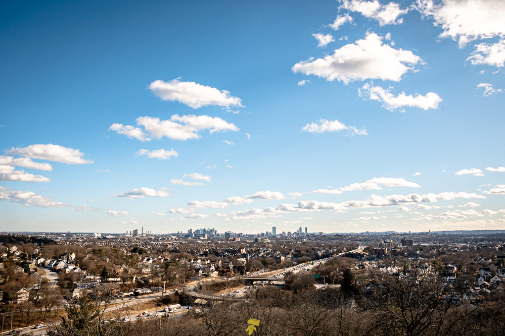
Located about 10 miles north of Boston, The Middlesex Fells Reservation is a public recreation area where you can hike, bike, cross-country ski, and kayak along the lands and waters. Covering more than 2,200 acres of forest, wetlands, and rugged hills in Malden, Medford, Melrose, Stoneham, and Winchester, Massachusetts, the large hilly wooded area offers views of the city skyline and surrounding neighborhoods along its 100 miles of trails.
ABOUT THE TRAIL
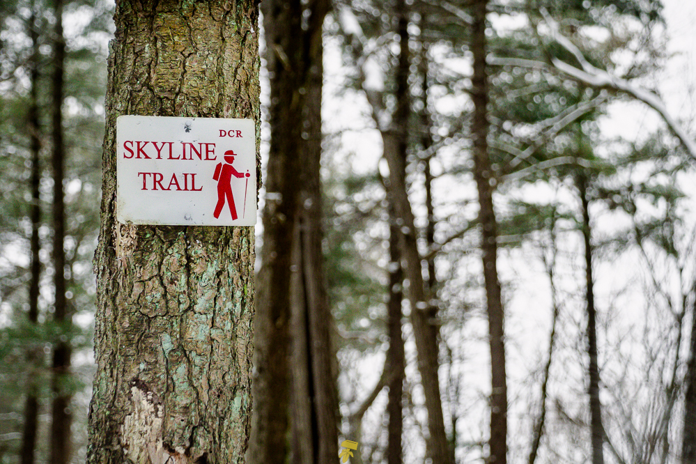
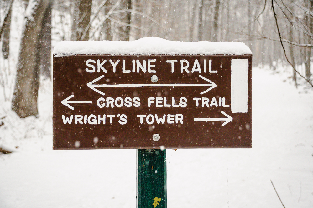
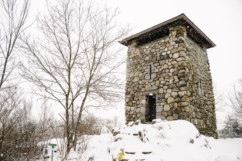
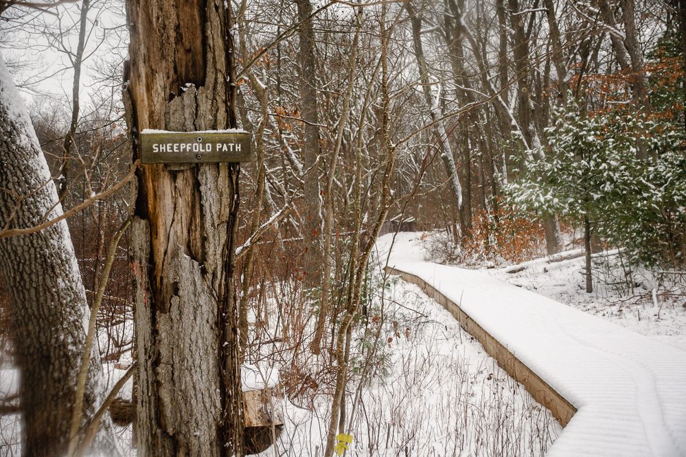
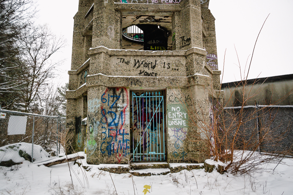
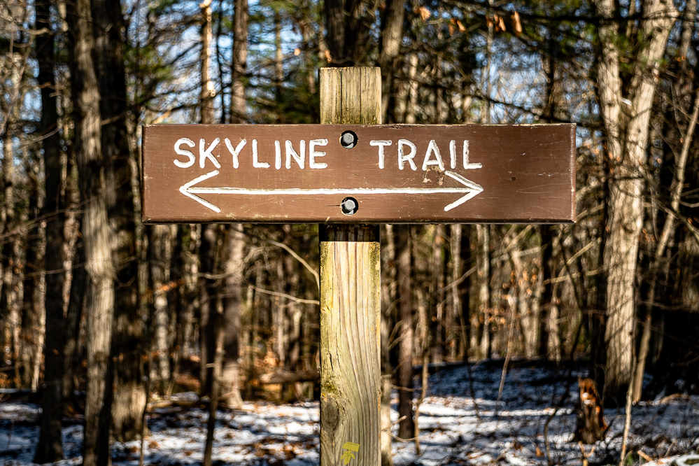
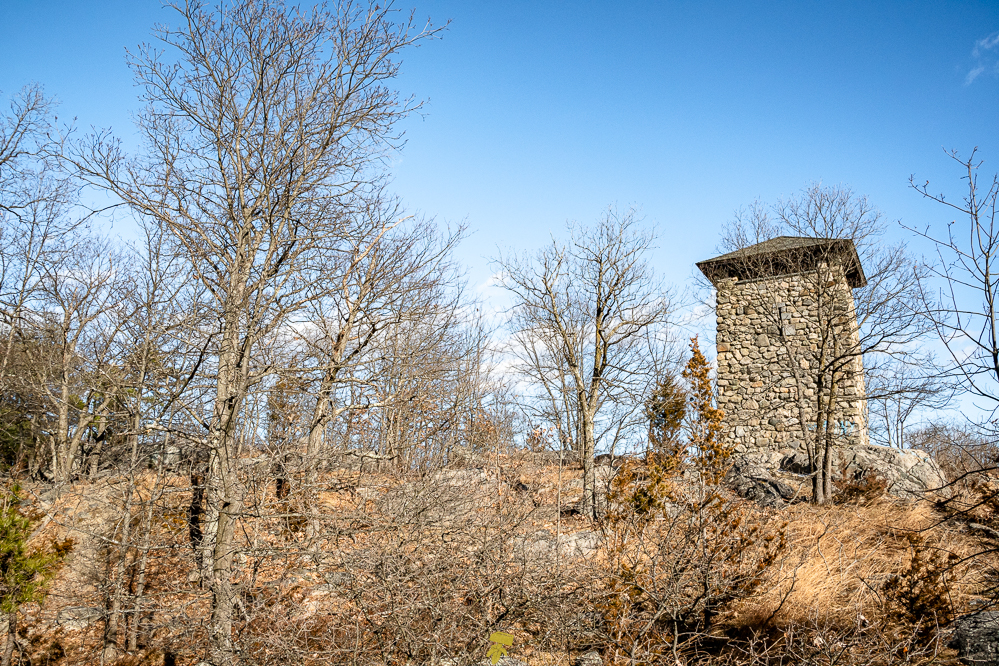
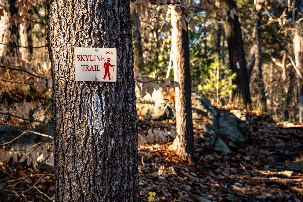
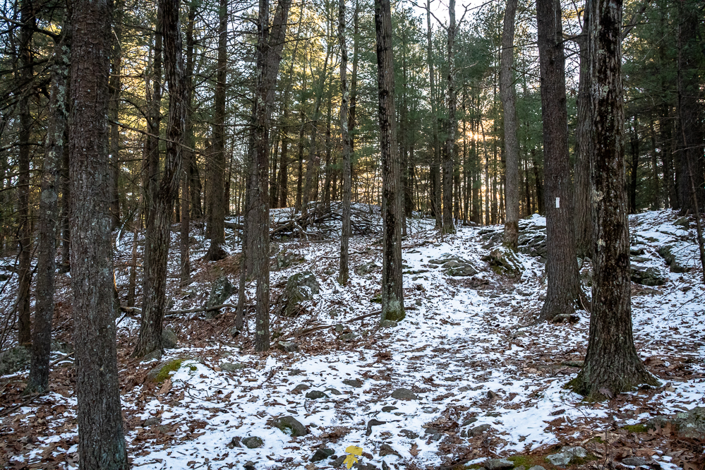
The Skyline Trail is a 7.5-mile trail located in the west section of the Middlesex Fells Reservation looping around the reservoirs and lower woods with Interstate 93 to the east. The path takes you by notable locations such as Panther Cave, Wright’s Tower, and an old soapbox derby track. The terrain is typical of Massachusetts with rocks scattered about and roots crisscrossing most of the trail.
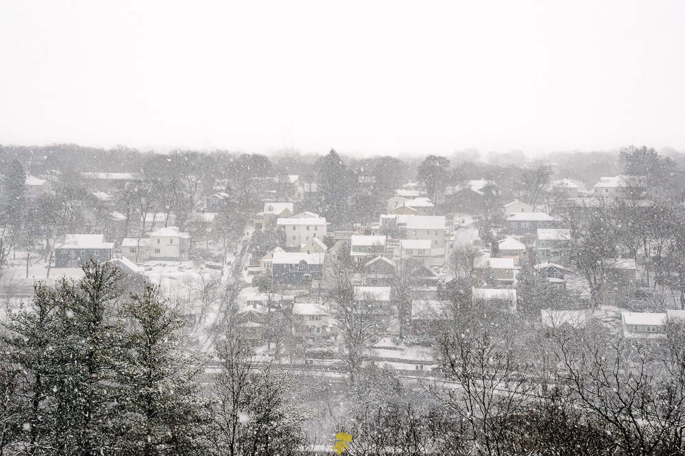
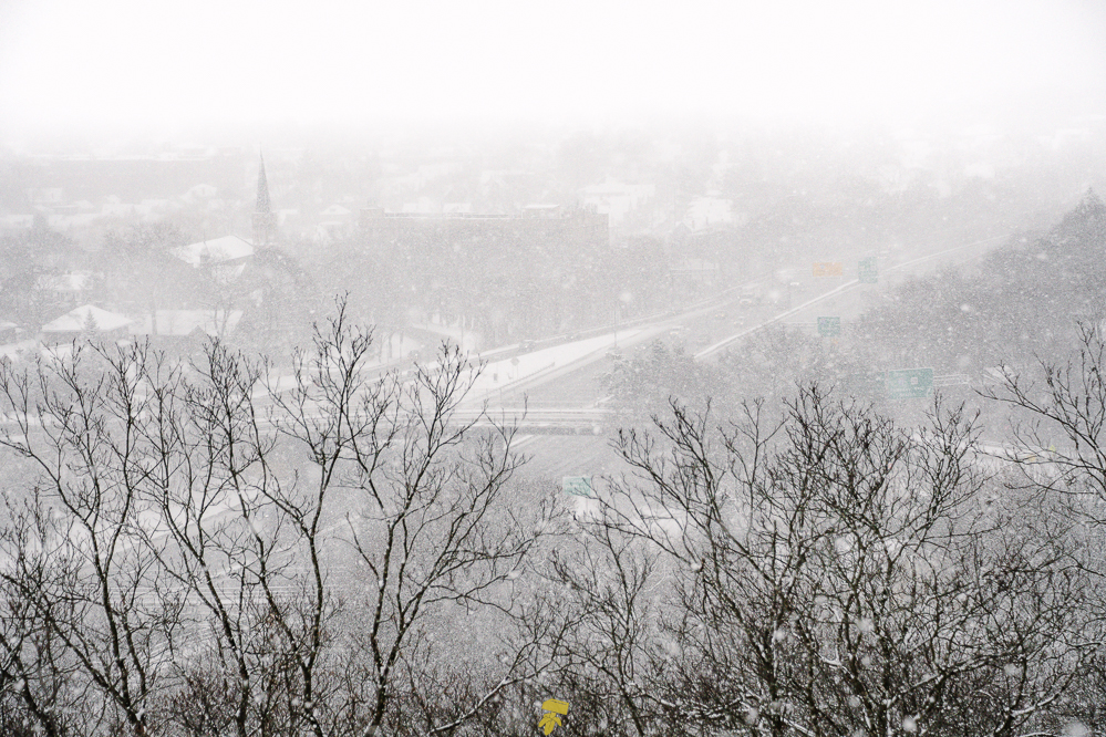
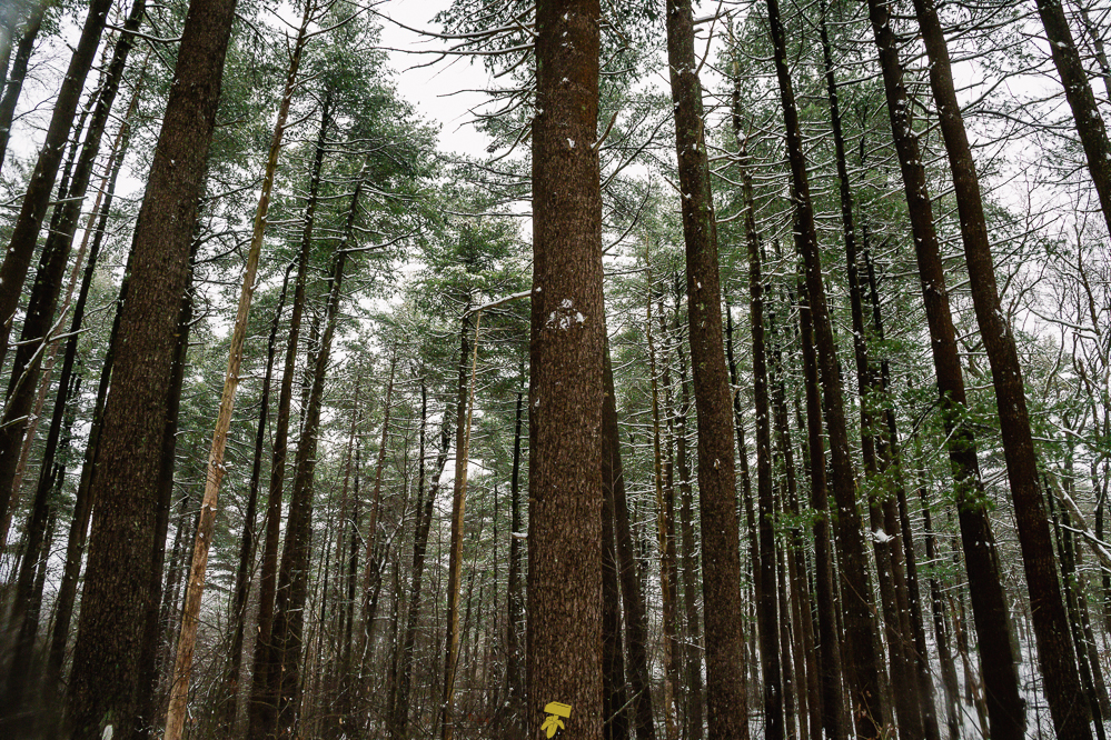
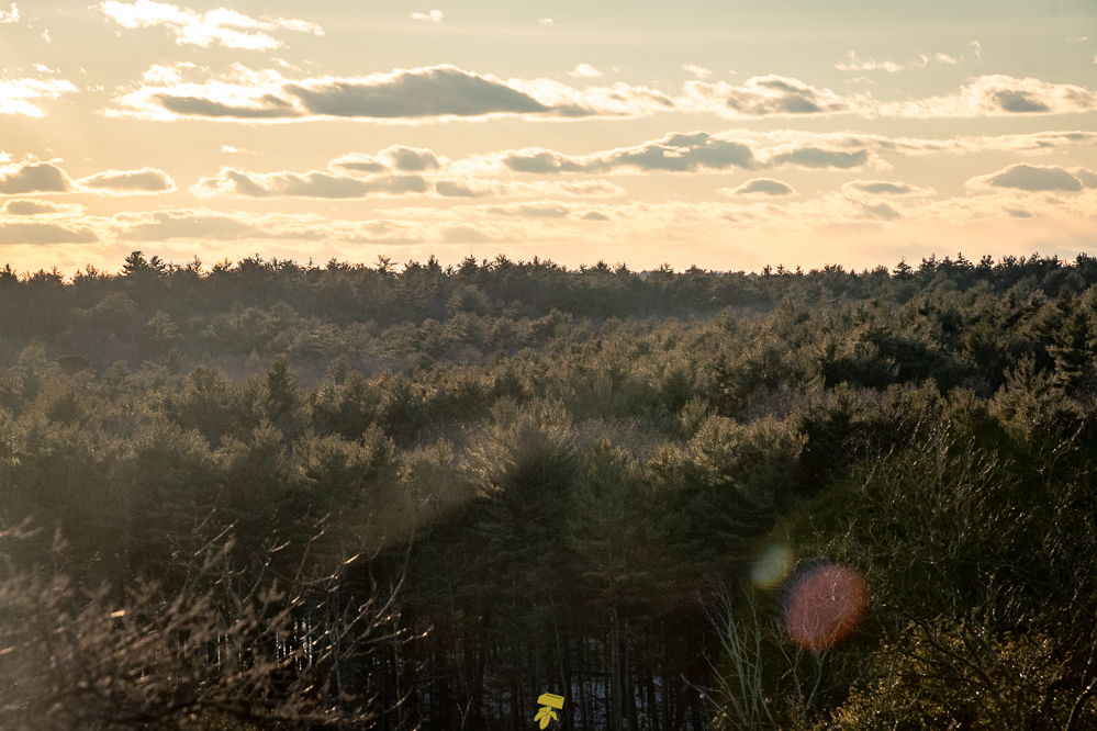
The majority of the white-blazed path is wooded, with the west portion of the trail being more coniferous and the east boasting more deciduous trees. You will pass fields, vernal pools, wetlands, rocky outcrops, and ponds along with climbing several hills, some of which have rather steep ascents, that offer views of the Boston skyline and surrounding communities.
THE PROJECT
This year, I’ll be hiking this loop every month as a means of exercise and to test out various gear, hopefully with different weather conditions, to better prepare myself for longer and more difficult hikes. I’ve also become more interested in being able to identify plants, trees, and birds and will be incorporating this into my hikes, especially to get to better know the woods that have always been my local stomping grounds. I hope to document the seasonal changes and the subtle differences from month to month as I traverse this moderately challenging route.
If you would like to support the park which aside from the DCR is maintained by community volunteers, The Friends of the Middlesex Fells Reservation’s mission is to promote the conservation, appreciation, and sustainable enjoyment of the Middlesex Fells Reservation. The Friends of the Middlesex Fells Reservation is a 501(c)(3) nonprofit organization and all contributions are tax-deductible. https://www.friendsofthefells.org/donate
Maps: All Trails | Google Maps
January Report (2024/01/16)
View photos and trail report here
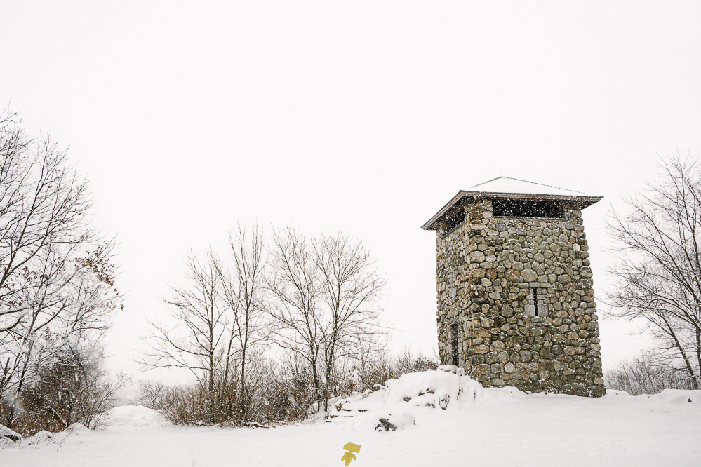
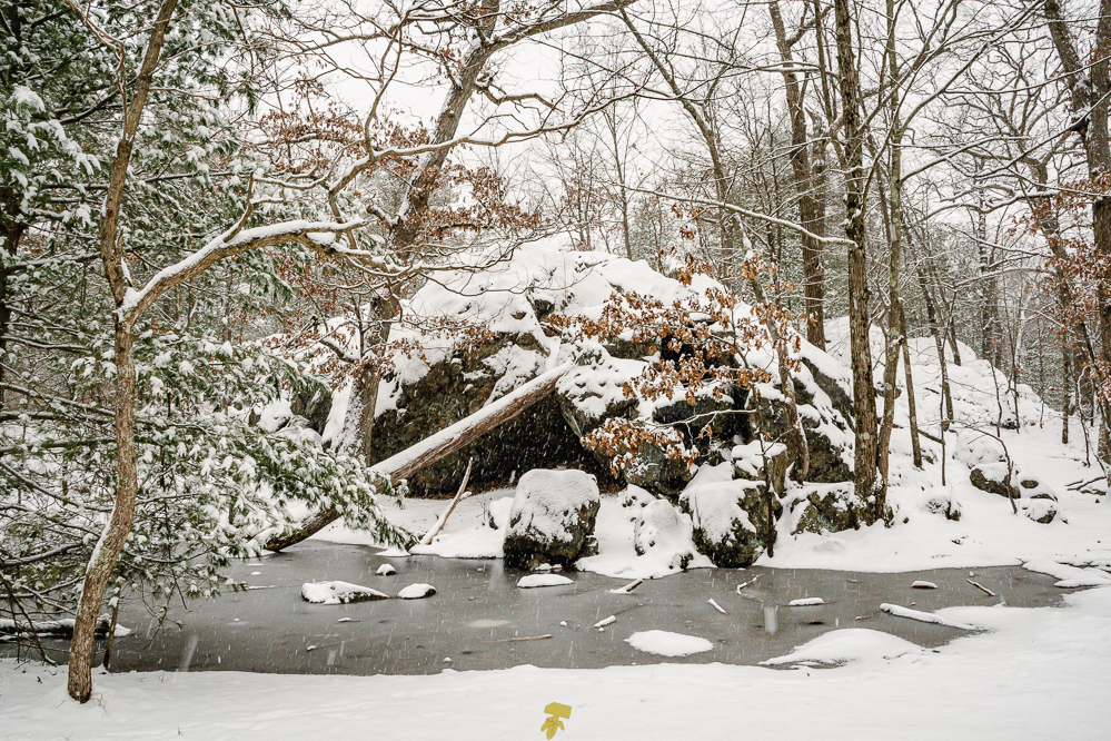
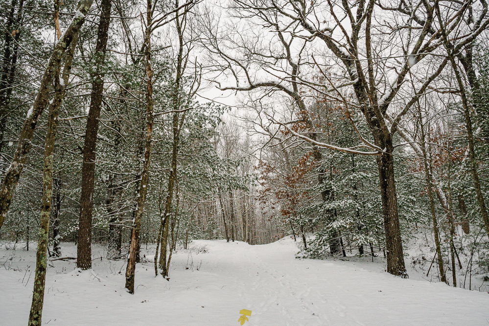
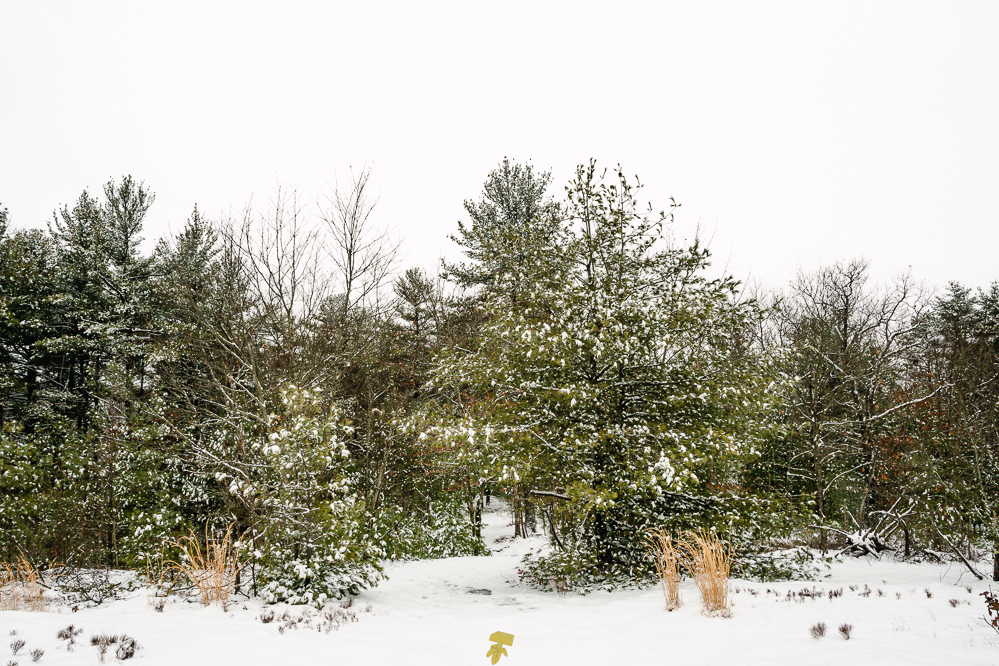
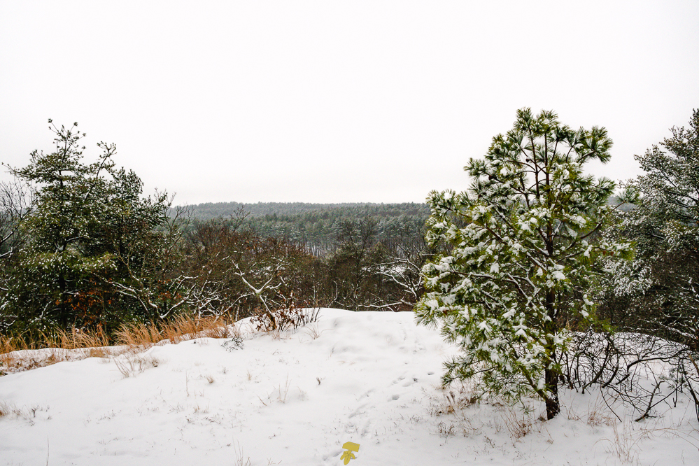
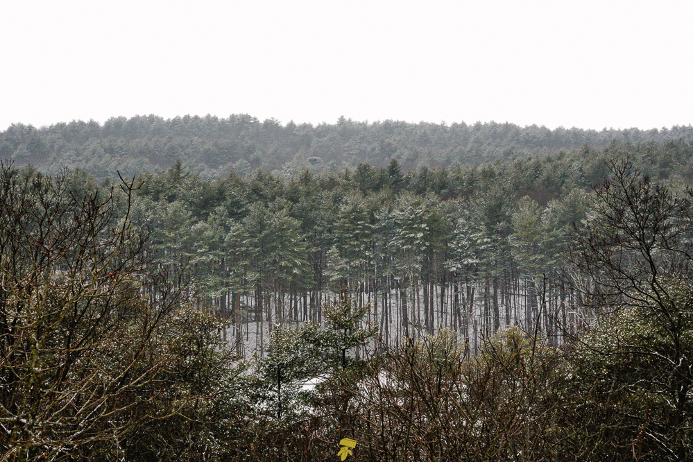
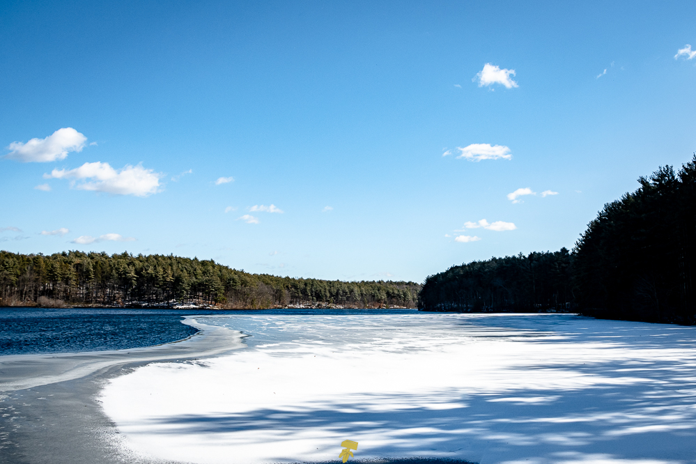
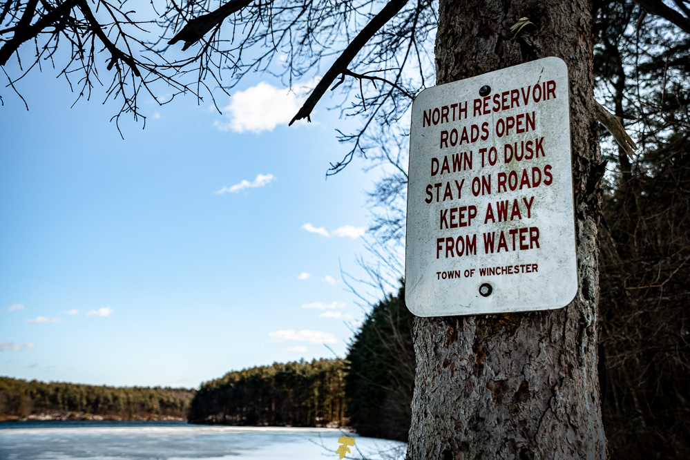
Beginning just west of Wright’s Tower along South Border Road immediately coming to Panther Cave. After enjoying a very snowy view from the outcrop past Wright’s Tower that looks upon Medford and Interstate 93, I headed north up and down the small rocky hills. By the time I reached the currently fenced-off Bear Hill Tower, the weather started to turn wet with the snow turning to sleet and then to rain by the time I came around the North Reservoir. Between the wetter weather and limited time before sunset, I ended up not taking many photos and opted to enjoy the hike and the exposure to winter conditions. It was good to test out some of my gear and find the threshold of protection of some of my “water-resistant” apparel.

February Report (2024/01/16)
View photos below, trail report …coming soon.
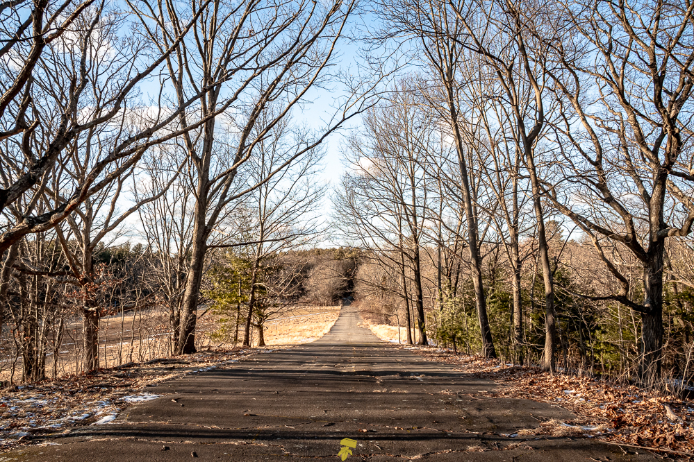
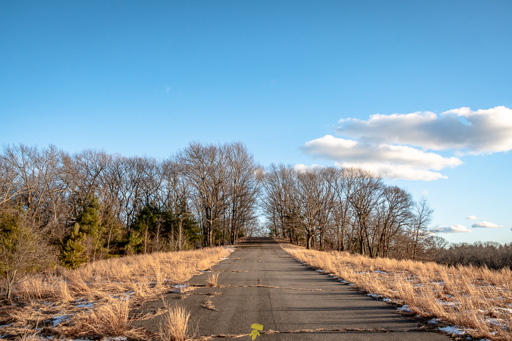
Not quite spring, not really winter either. This is probably my least favorite time of year in New England. Enter mud season. Mostly cloudy on this day with a high of 47° with a slight breeze. Though the trail was in great condition, I didn’t encounter too many people, mostly around Wright’s Tower, Bear Hill area, and along the west side of the trail along South Border Road. People really need to keep their dogs on a leash and pick up the bagged poopoo.


March Report (2024/03/19)
…coming soon.