In February 2017, I took a three-day drive around the state of Pennsylvania all just to drive along Route 666. Being my first time in the Coal State, the rule was: “No highways once in Pennsylvania.” The adventure was themed to experience a more unique perspective of the state by exploring more desolate and off-beat locations via a more scenic route. Destinations include abandoned properties and natural landscapes, yet each location offers facets of history and what makes Pennsylvania Pennsylvania.
DAY 1: Scranton & Wilkes-Barre
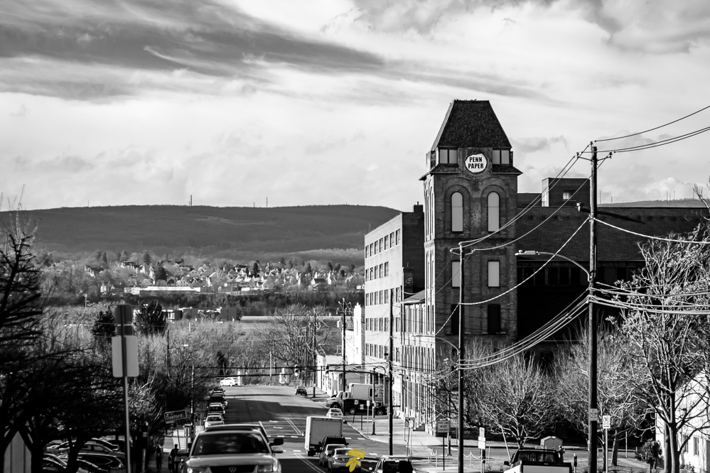
In the opening credit scroll of the television show The Office, there’s a quick shot of the Pennsylvania Paper & Supply Company, North Eastern Pennsylvania’s leading distributor of paper and facility maintenance supplies. While researching his role as Jim Halpert, writer and actor John Krasinski filmed the clip while driving down Vine Street, where the company has been located since moving into the former bakery warehouse in 1970. Two sides of the circular sign on the brick tower show the “Dunder Mifflin” logo while the other two sides read “Penn Paper.” Next is lunch at Alfredo’s Pizza.
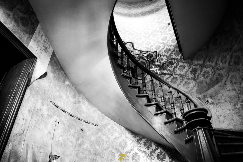
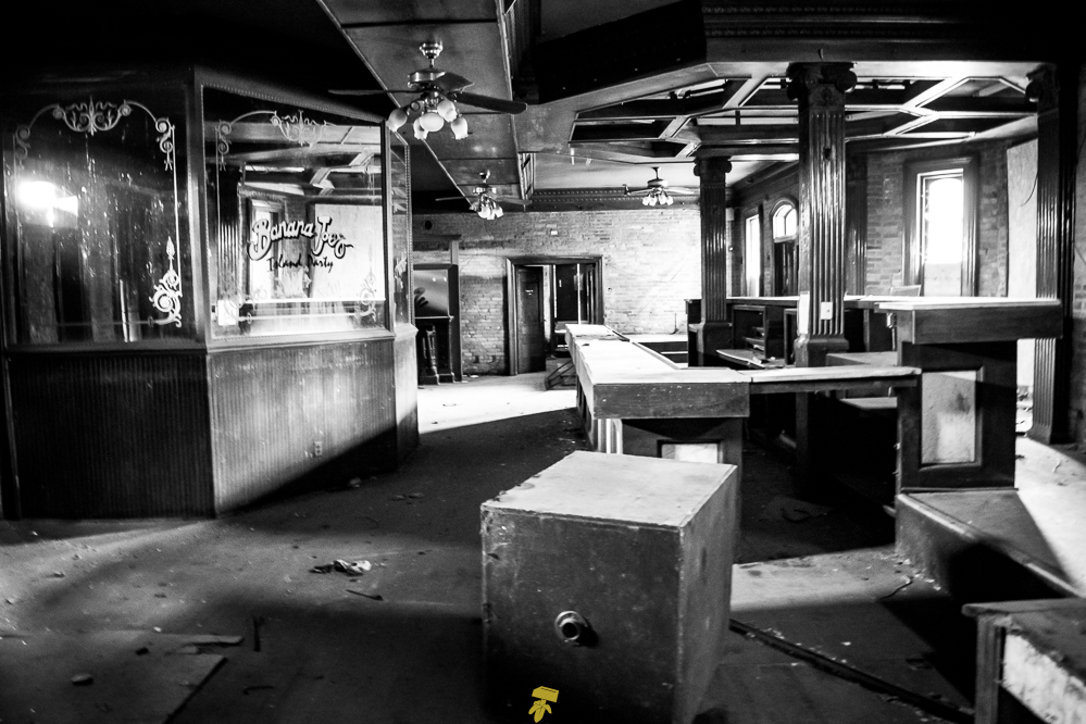
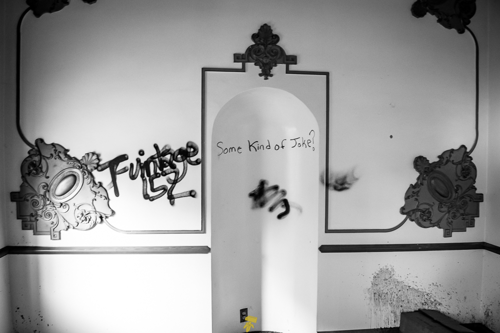
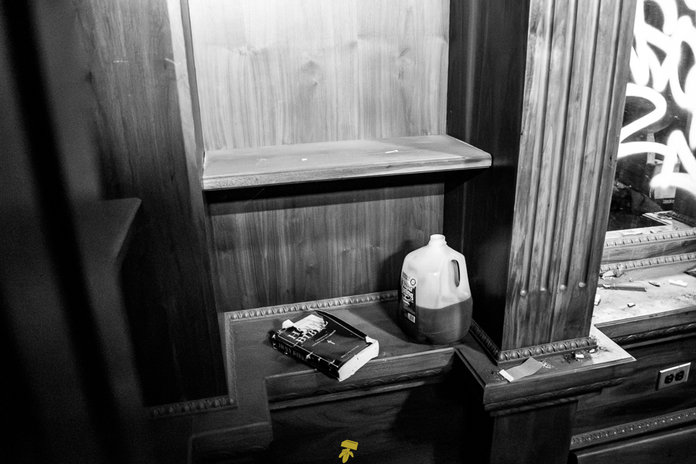
Heading southwest, the next location is a historical train station in Wilkes-Barre, it was abandoned by the coal industry and was later converted into a cocktail bar. This may be the grossest place I have ever set foot. Everything seemed covered in a film or mold and it reeked of urine, animal, and human. I quickly moved my way around taking occasional photos and increasingly growing uneasy. After a cat jumped down from the iron spiral staircase that led to the roof outlook, I turned around and left.
The building, a brick Victorian-style complex featuring an overhanging hipped and gable roof, with a wooden cupola was built in 1868 when it was originally constructed for the Lehigh and Susquehanna Railroad. Once known for the finest luxurious Pullman cars, passenger service would cease in 1963. The station would later close in 1972 and then be added to the National Register of Historic Places in 1975.
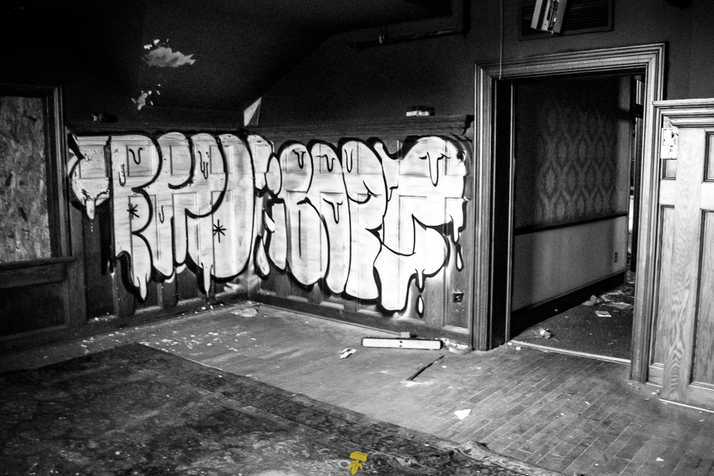
Throughout the 1980s, 90s, and early 2000s, the train station saw life as a popular nightclub and restaurant rather than a transportation gateway. At the time of my visit, the train cars had been removed and the wings of the station had been demolished with only the main building remaining. The interior of the bottom floor showed remnants of it’s last owner, Banana Joe’s – a tiki bar. The train station has since been renovated and is now the new home of Visit Luzerne County tourism bureau as of 2021.
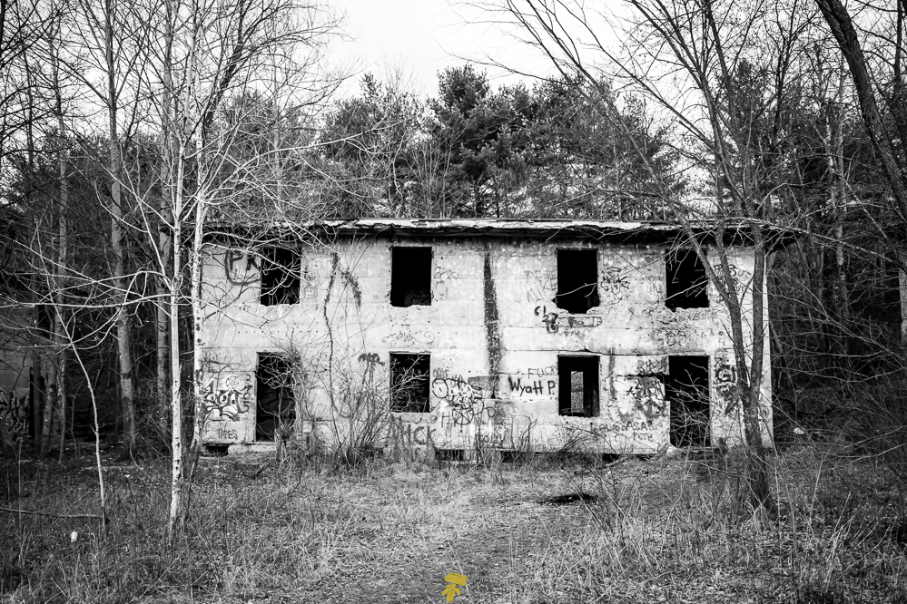
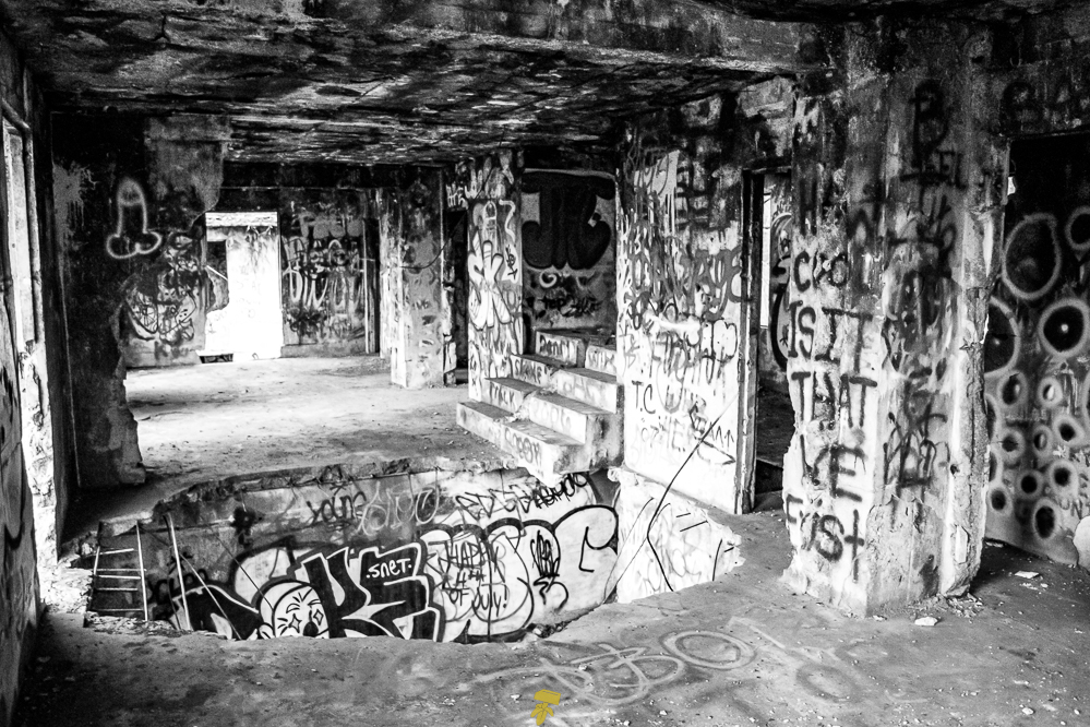
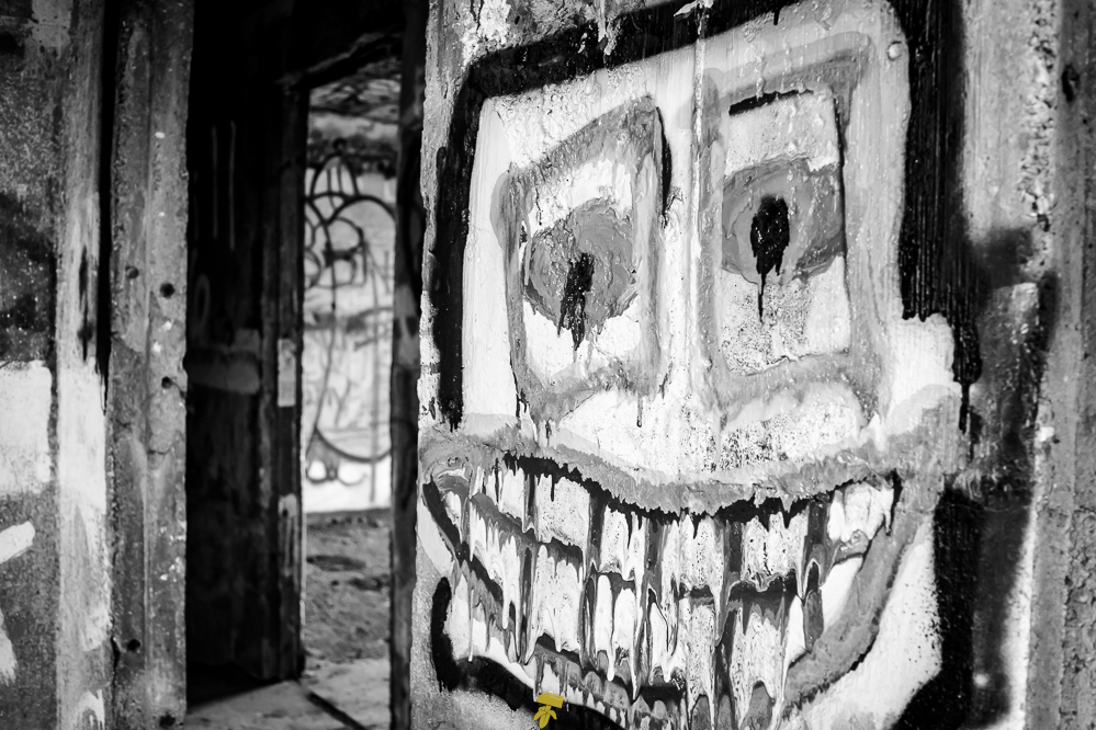
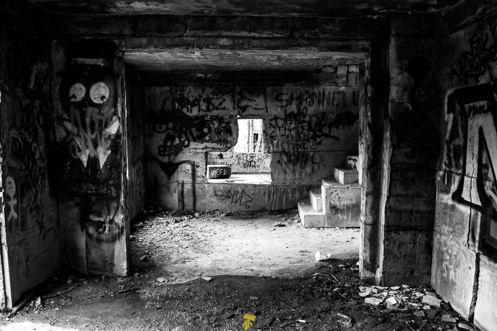
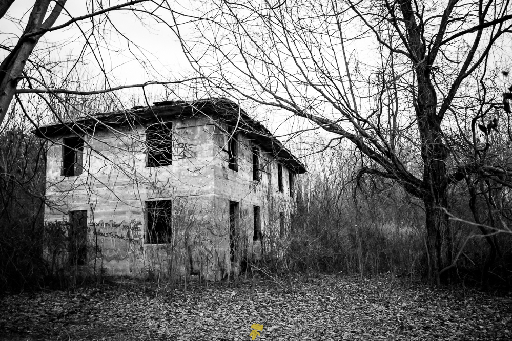
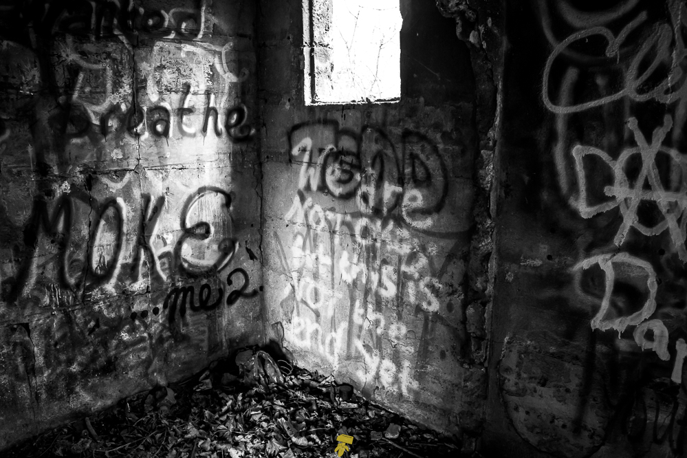
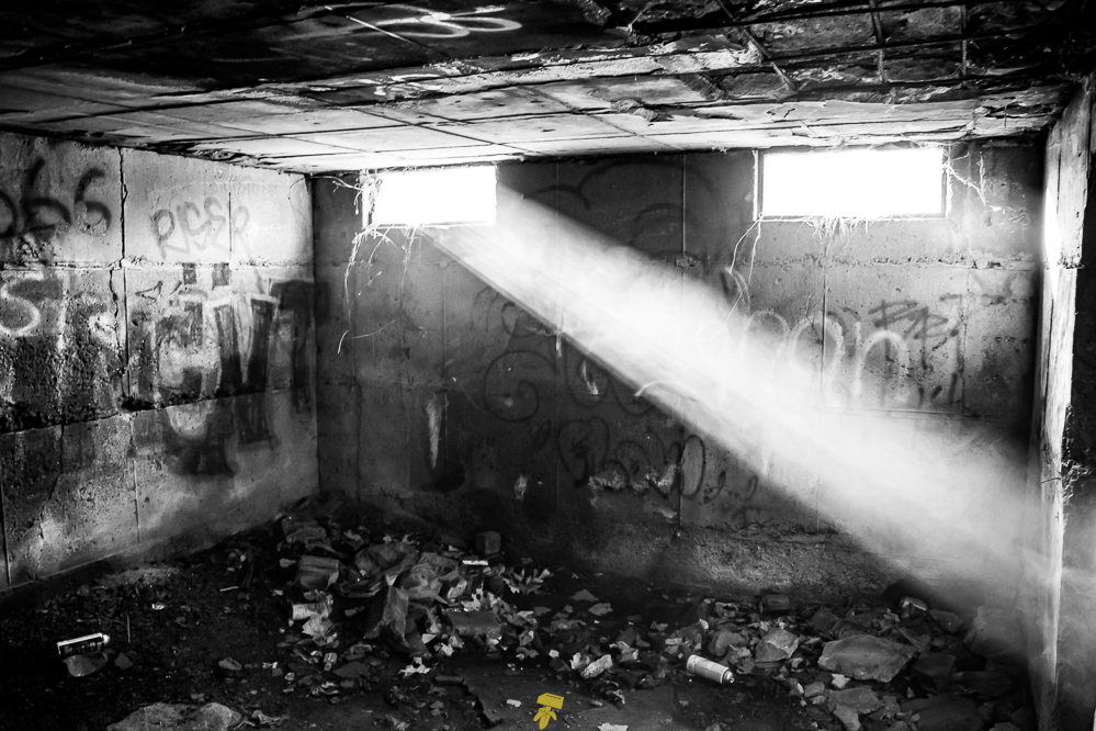
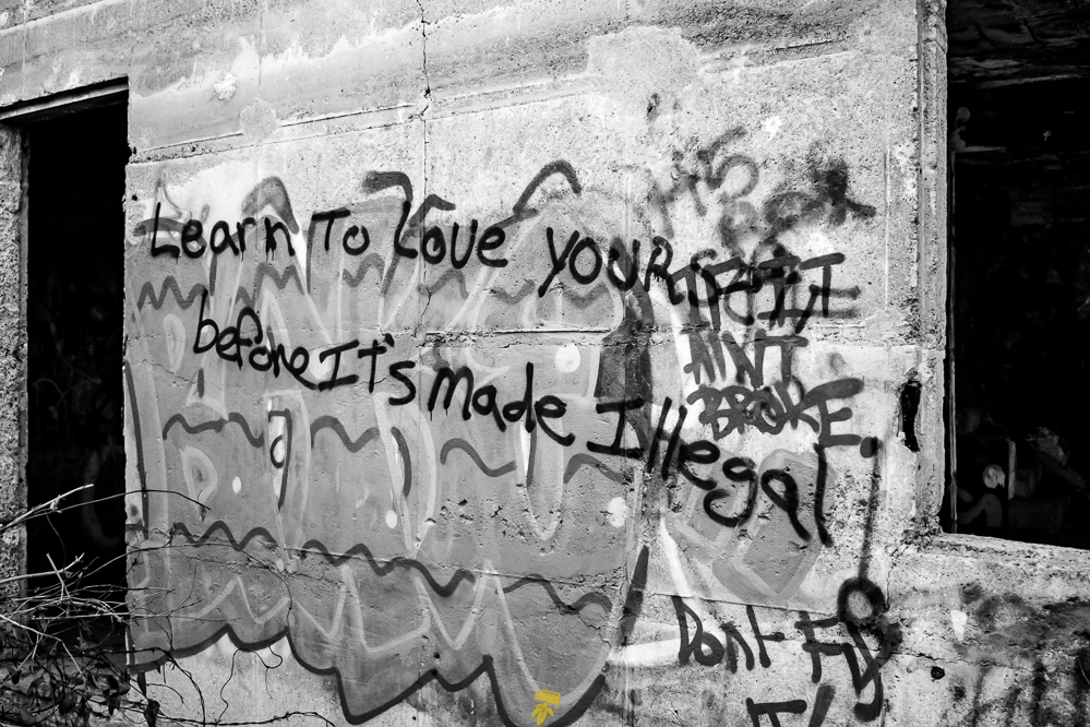
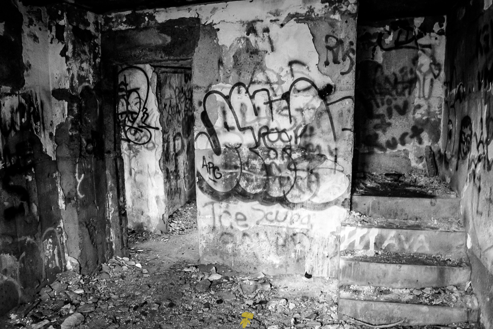
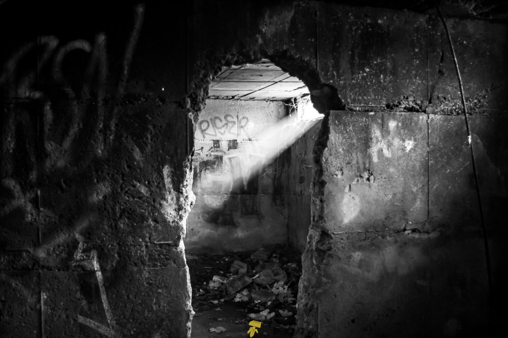
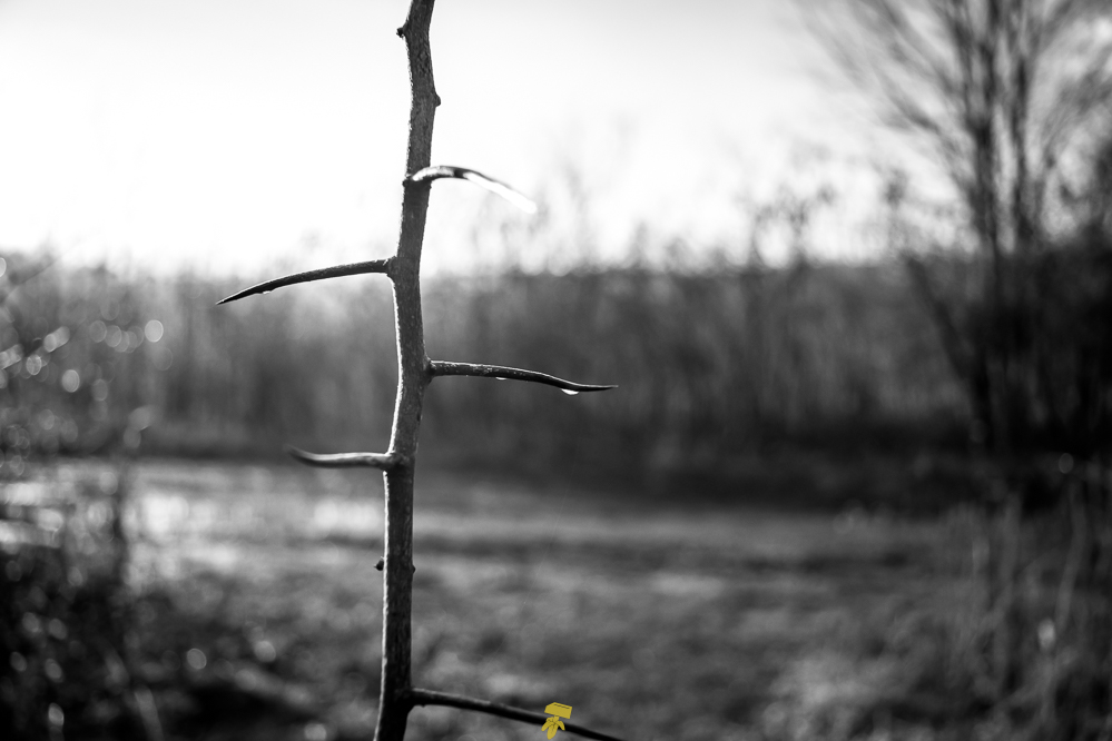
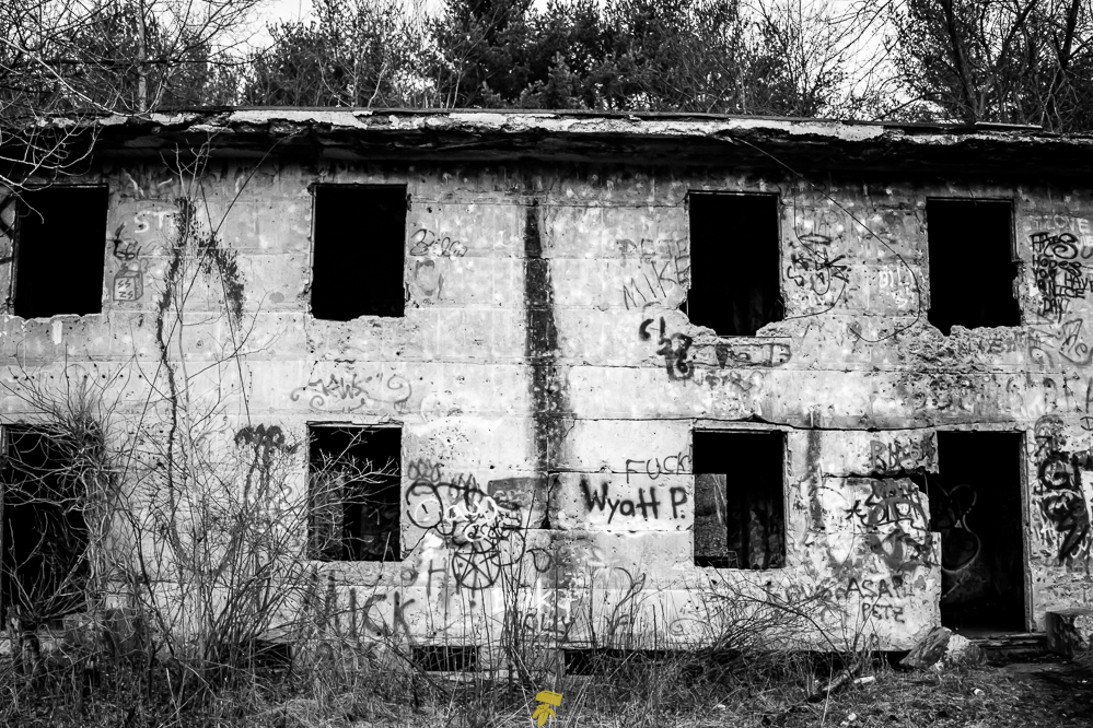
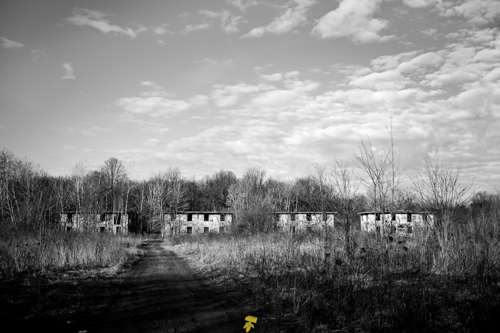
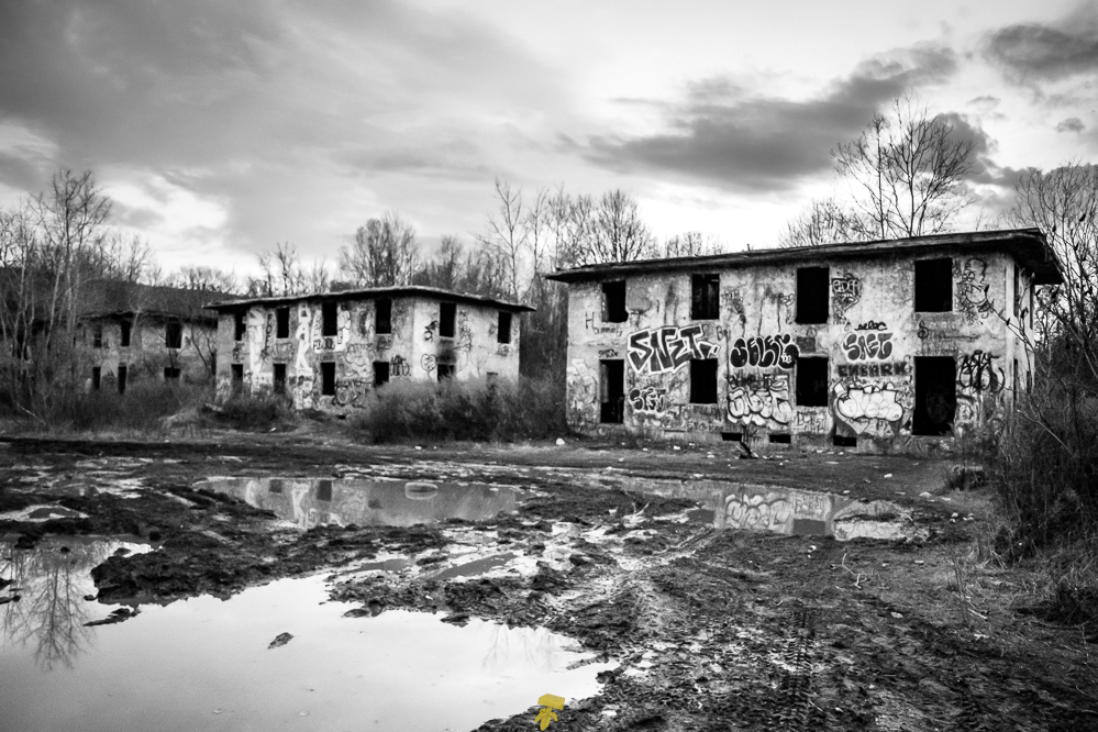
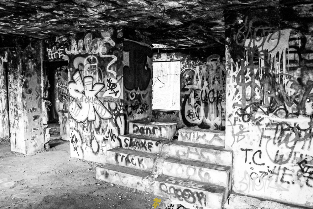
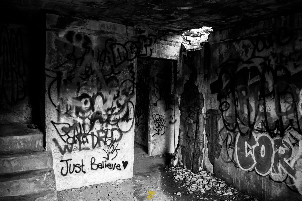
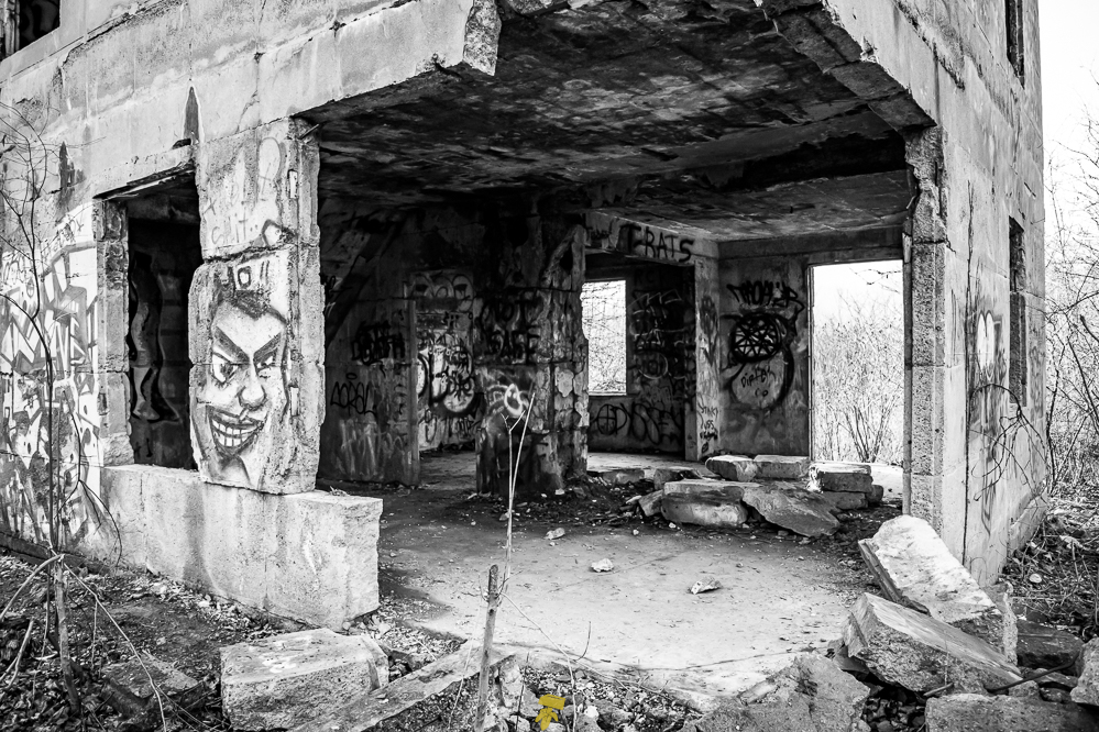
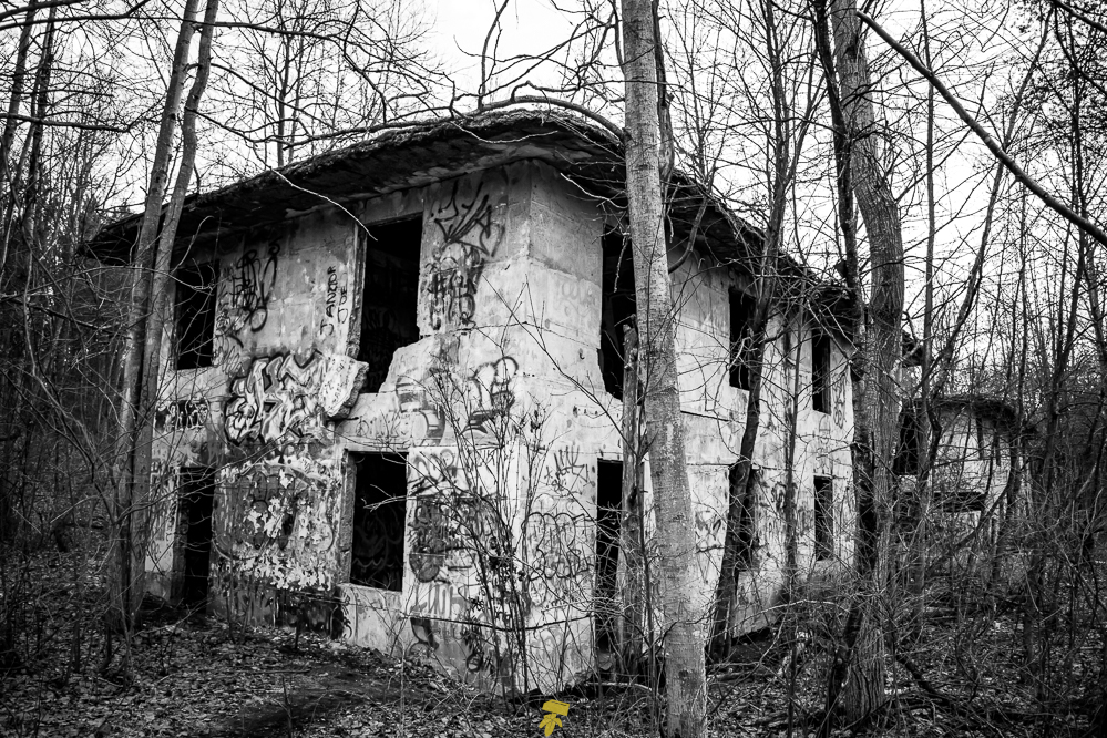
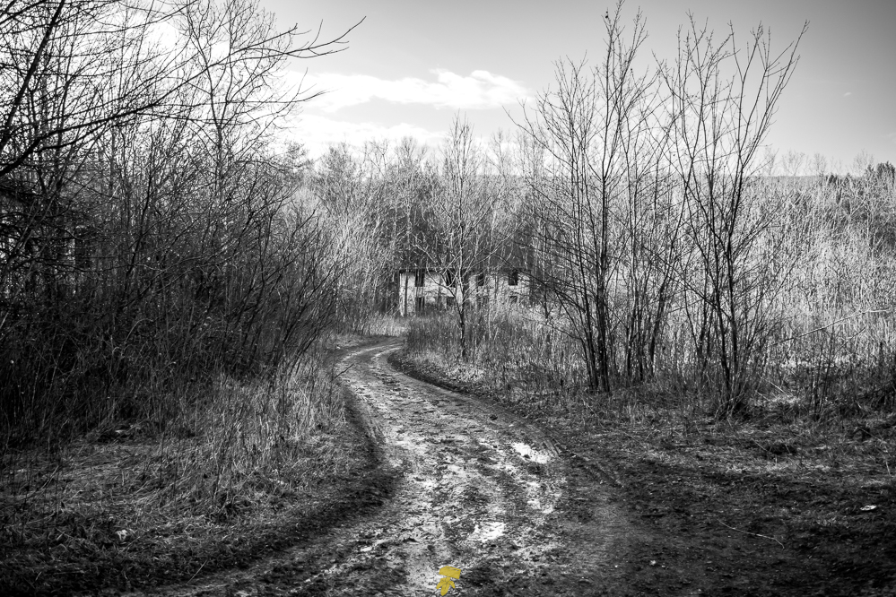
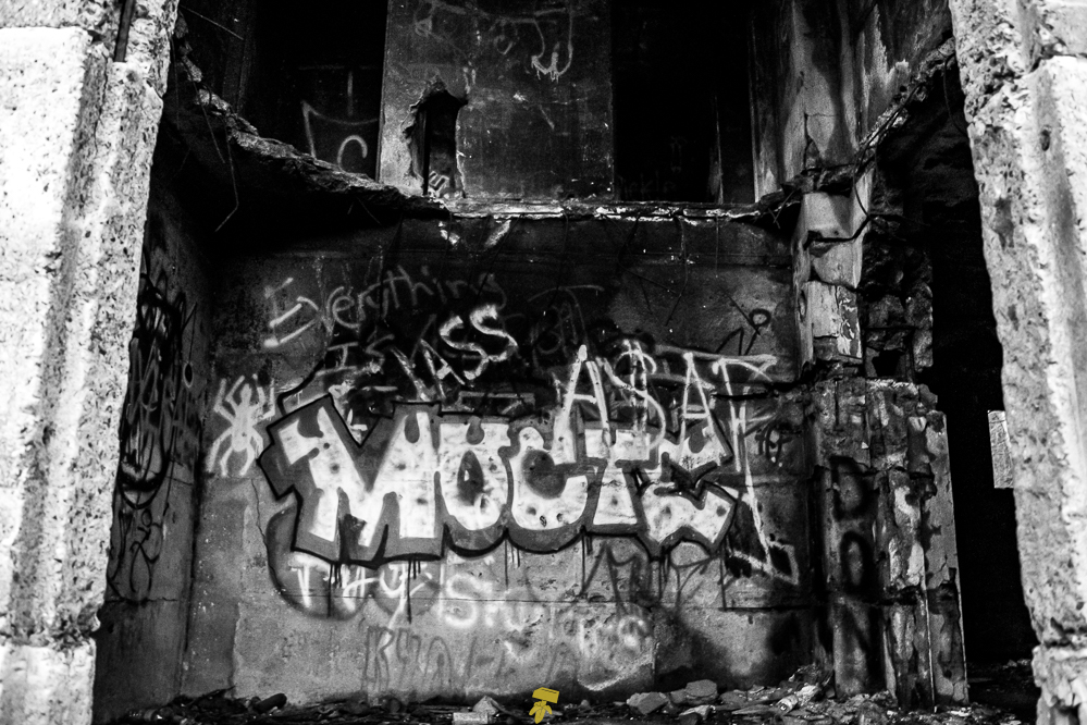
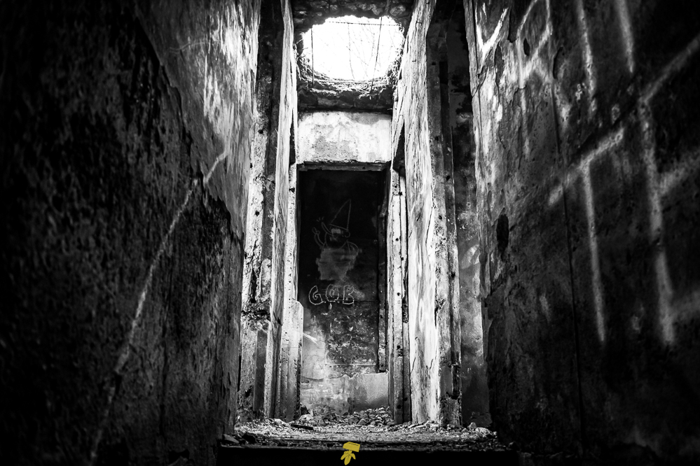
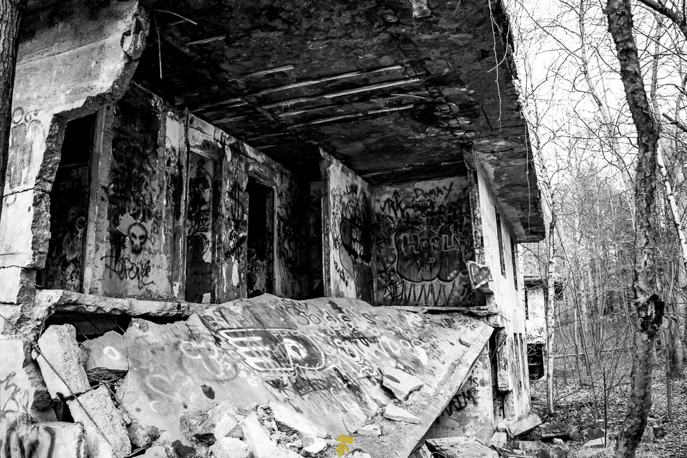
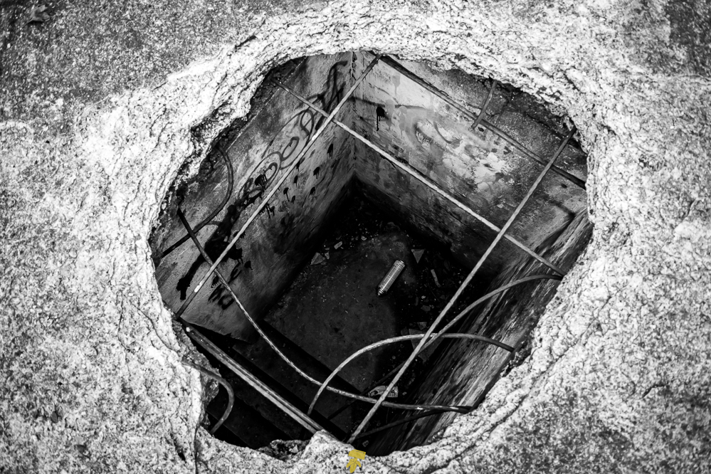
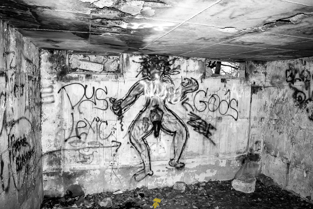
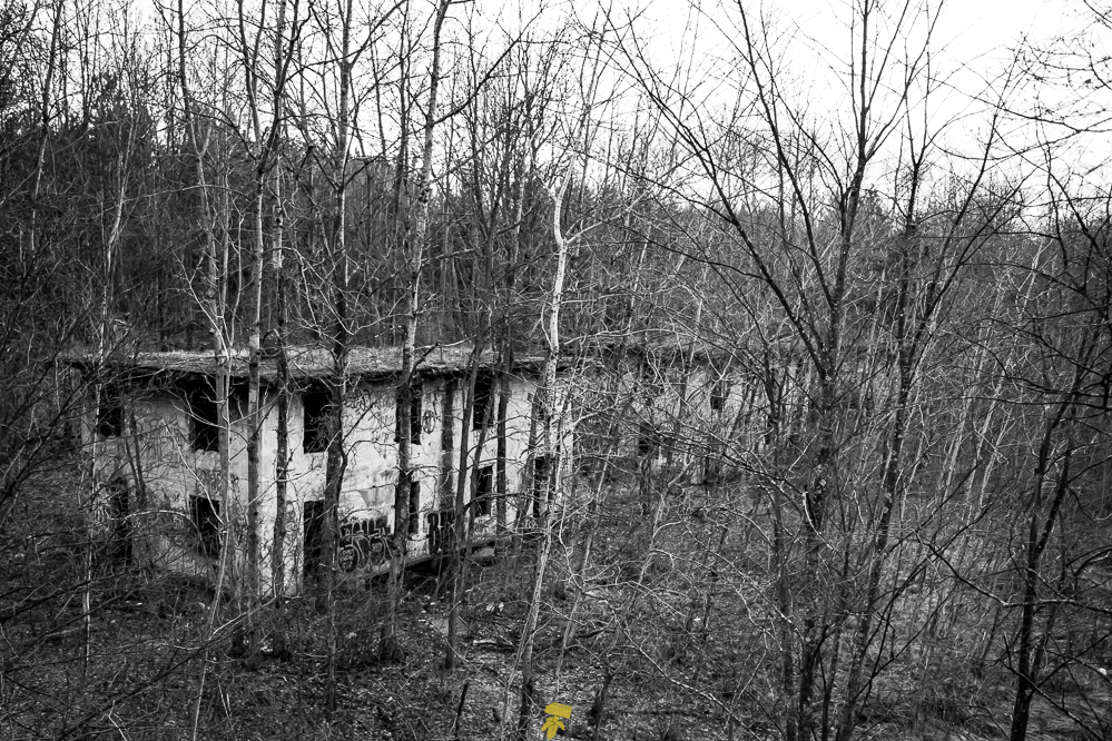
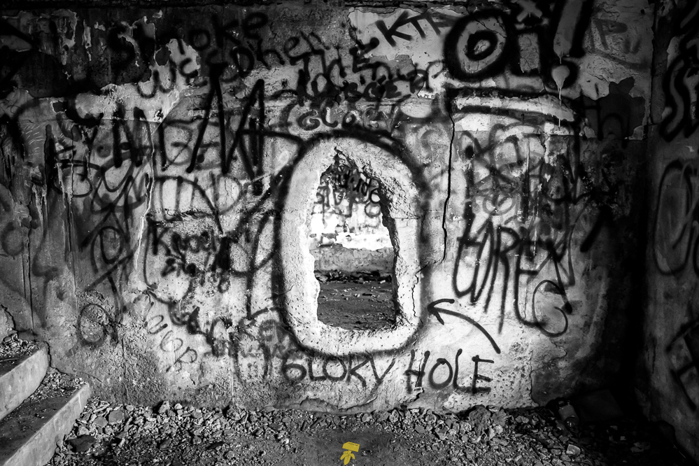
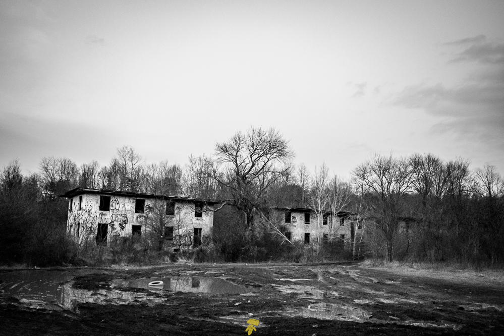
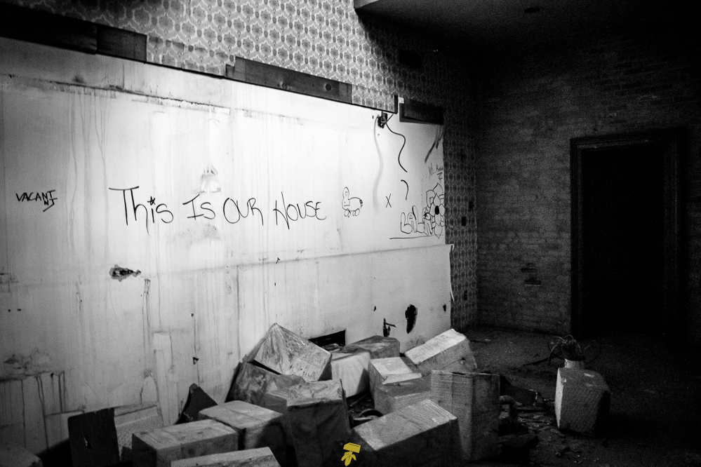
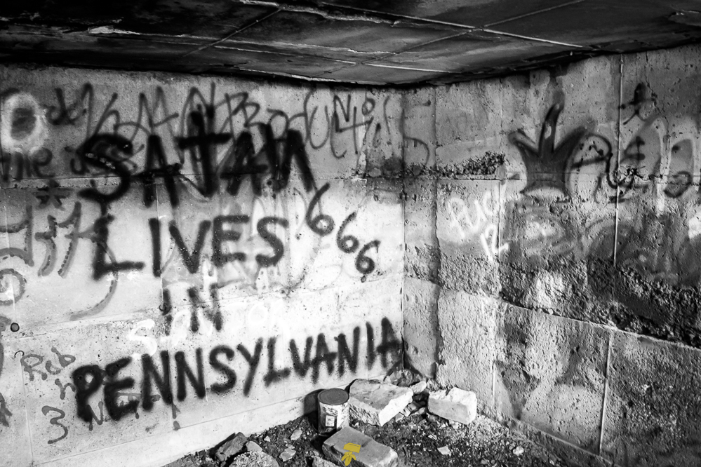
With a few more hours until sunset, I darted off to Concrete City. This place got increasingly creepy as dusk set in. It was like walking into a Goosebumps book. Nearly two dozen decrepit graffiti-covered concrete buildings set in the woods surrounded by mud and muck with a glowing sunset spewing pinks and purples. Hollow dorms, no windows, no doors. Only concrete stairs, concrete walls, and a concrete roof.
These “homes” were constructed in 1911 by the Delaware, Lackawanna and Western Railroad (DL&W Railroad) for the employees at the company Truesdale Colliery, one of the largest anthracite (black coal) producing mines in the world at the time. It was then abandoned in 1924 as a result of not having a proper sewer system.
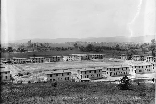
Historical photo of Concrete City, estimated to when it was first built. Credit unknown.
Attempts to demolish the solid concrete buildings have been futile. One attempt included 100 sticks of dynamite and that only resulted in minor damage – I want to say it’s the building with the most structural damage, a collapsed corner. Nowadays local law enforcement uses the vacant neighborhood as training grounds and while others use the road clearings for four-wheeling and the dwellings for partying.
Escaping by the last glimpses of sunlight, I set out to find a place to sleep for the night. I find a spot in a parking lot of a motel not too far away and sleep in the car.
DAY 2: Concrete City, Centralia & Mount Jewett
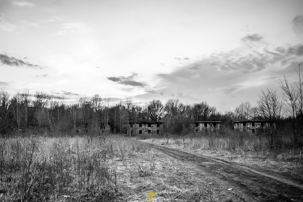
Waking up extremely early, I head back to Concrete City and arrive just after sunrise. Everything is covered in morning dew as fog rests just above the ground. It’s quiet, unlike the gunshots and off-road vehicles from the evening before. In the morning glow the place takes on a more warm and inviting persona as I weave in and out and up and down every other building.
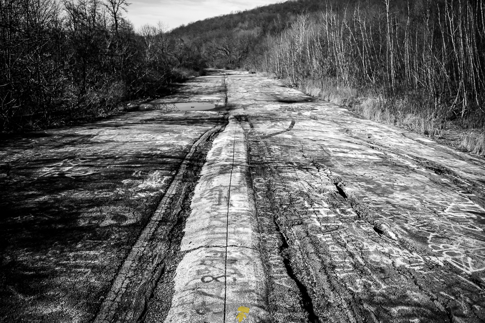
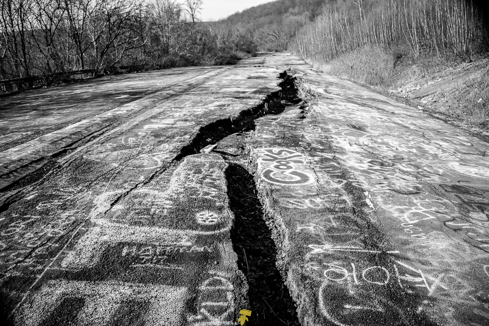
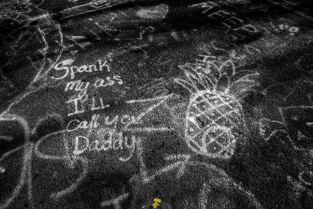
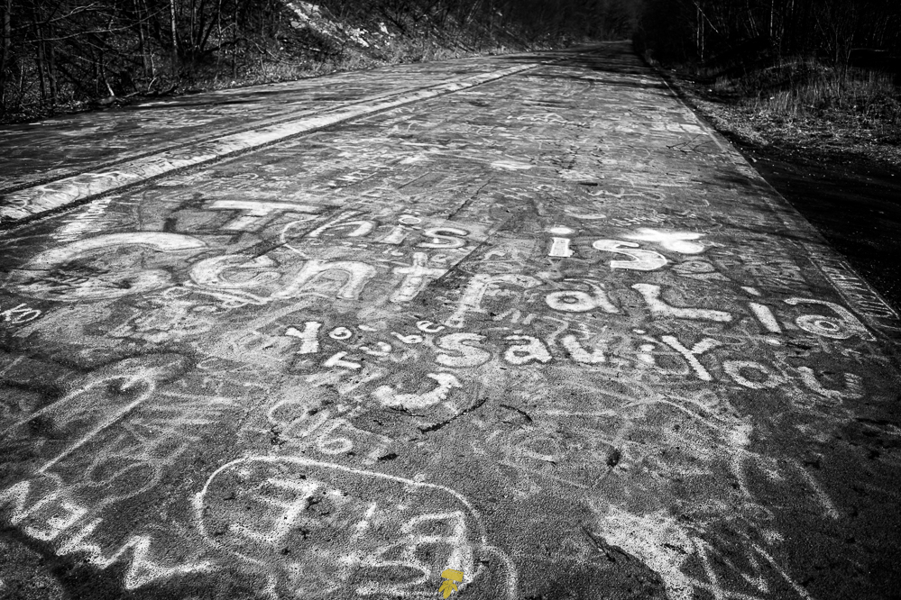
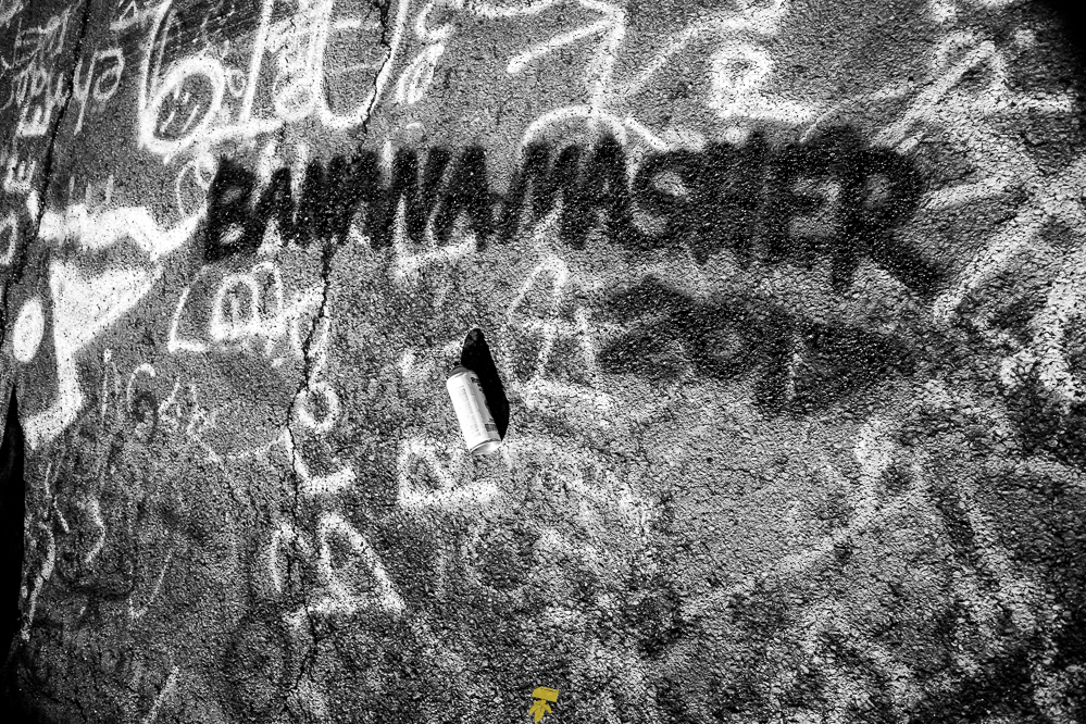
A quick stop to Centralia, a toxic ghost town sitting atop a massive coal fire, is next on the tour. Don’t worry, everything is fine. Though most of the dwellings have been demolished, there is an old stretch of highway, formerly Route 61, known as Graffiti Highway – which breaks the only rule I had for this adventure.
Along the used 3/4 mile stretch of roughed up asphalt continues the graffiti theme with names, tags, hearts, penii, spaceships, Pac-Man… all sorts of graffiti art. Not just on the road, but also on the guardrail, the bordering trees, and really anything and everything along the way is 100% covered in graffiti. It’s quite a spectacle looking down as the road heaves and turns, a road with a kaleidoscope of color and character. Most of it is just AB <3’s CD and “Buzzo wuz hurr” but the occasional talented and clever art piece could be found. If you looked closely you could spot dates going back several years.
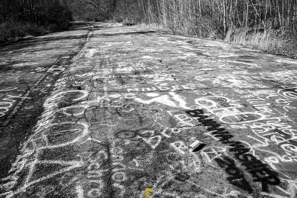
With a fire in the mines that has been going on for decades beneath the route, it caused the road to close in 1993 with a new roadway constructed nearby. Warning – the remaining local population does not like visitors exploring and Graffiti Highway is technically on private property. State and local police patrol the area and will likely harass you if discovered. Graffiti Highway was covered in dirt during the spring of 2020.
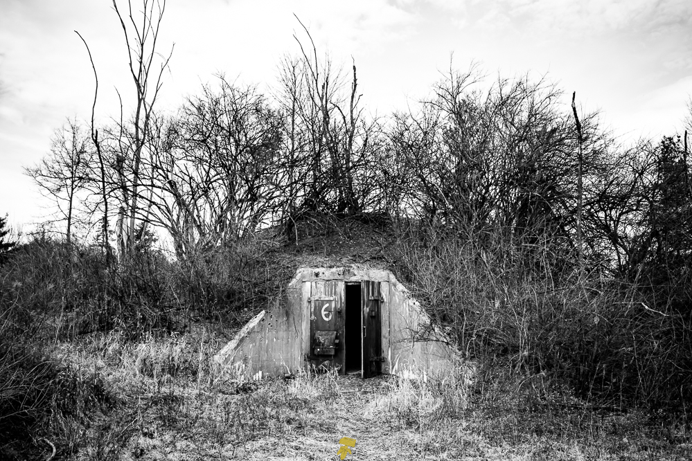
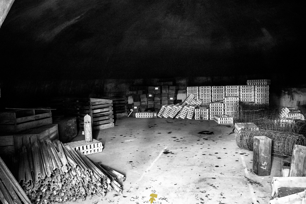
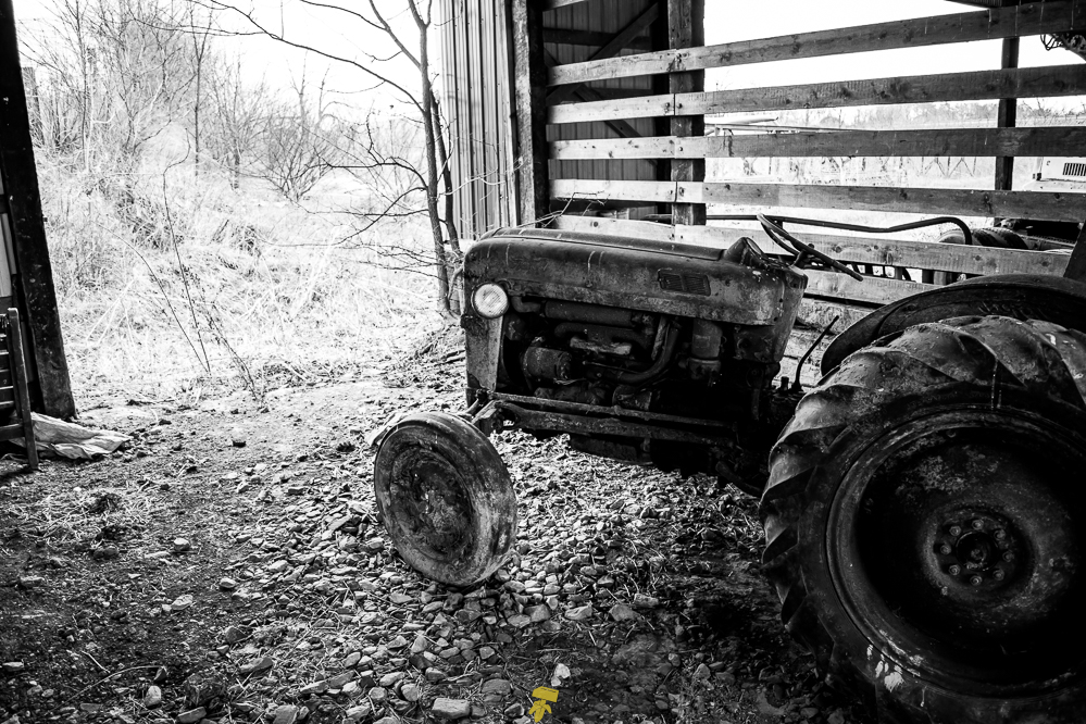
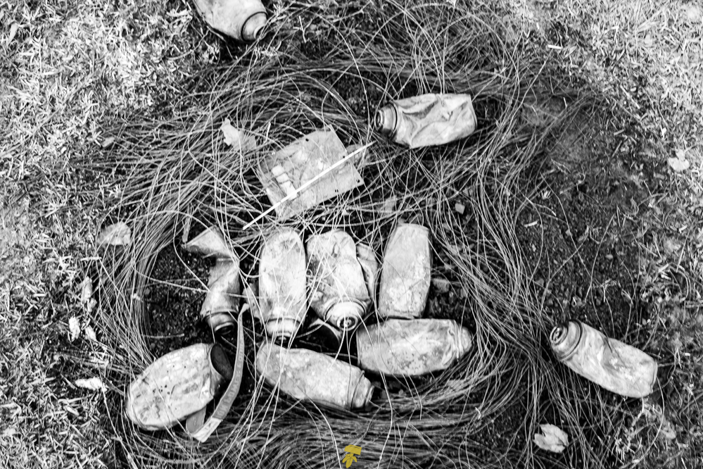
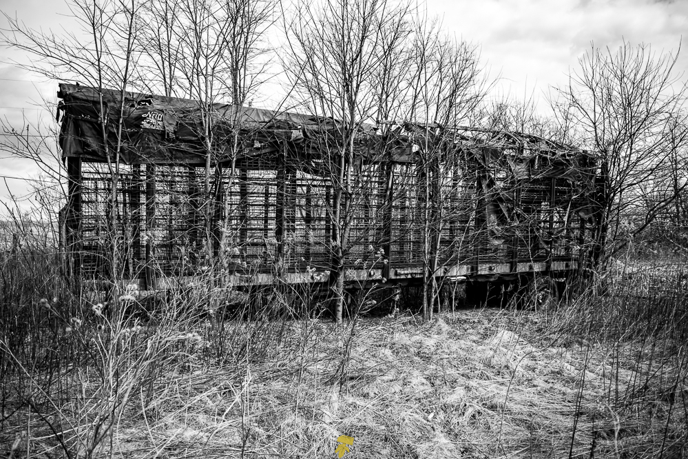
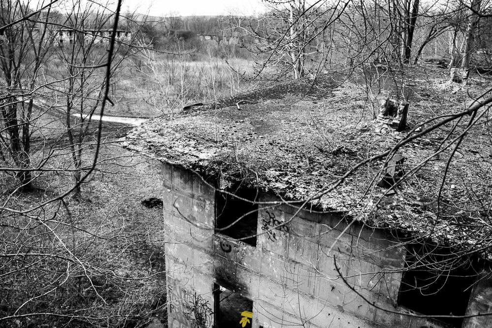
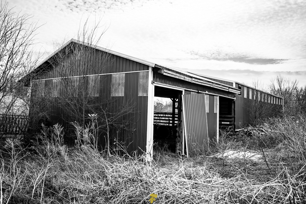
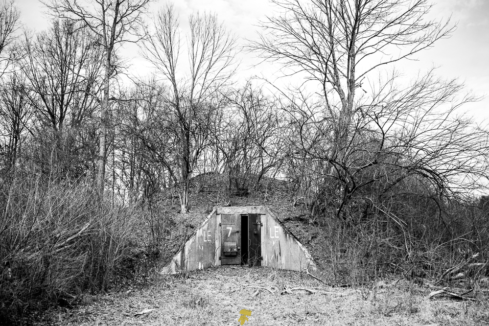
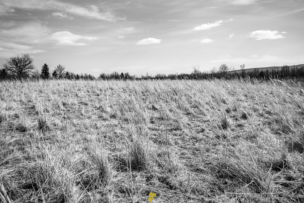
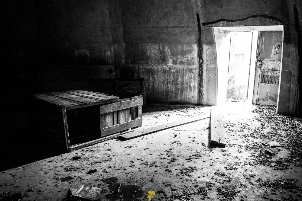
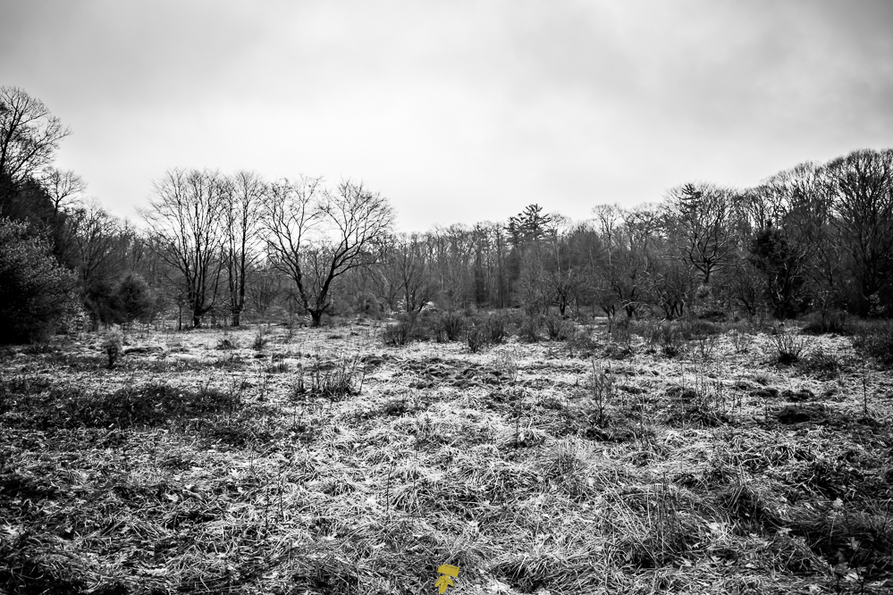
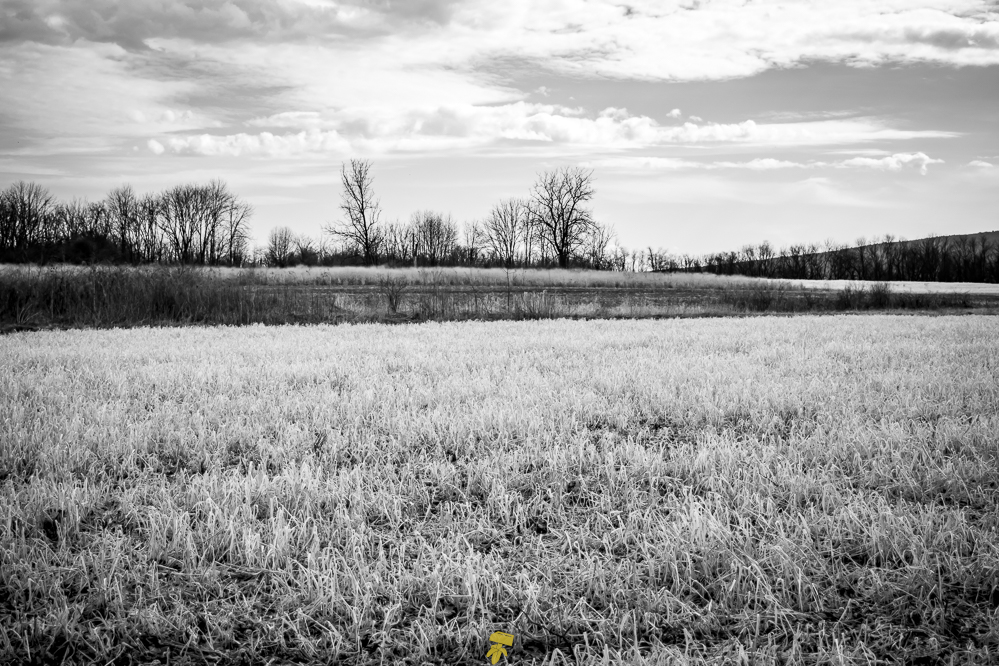
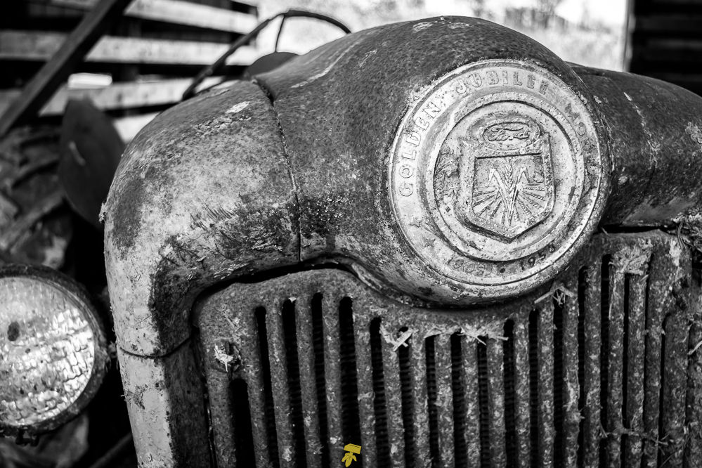
I walked nearly to the end and then turned back, eager to wander around the next location, a village called Alvira that in 1942 the federal government seized. Nearly 150 bunkers were built on the land here to hold supplies and act as storage for explosives. After World War II the land where the bunkers are located has since been given back to the state of Pennsylvania and serves as game land. Many of them are open and contain various items like crates, large spindles, metal fencing, and various construction supplies rusted, moldy, and forgotten in time. Wear orange if exploring this area and keep alert as it is hunting territory.
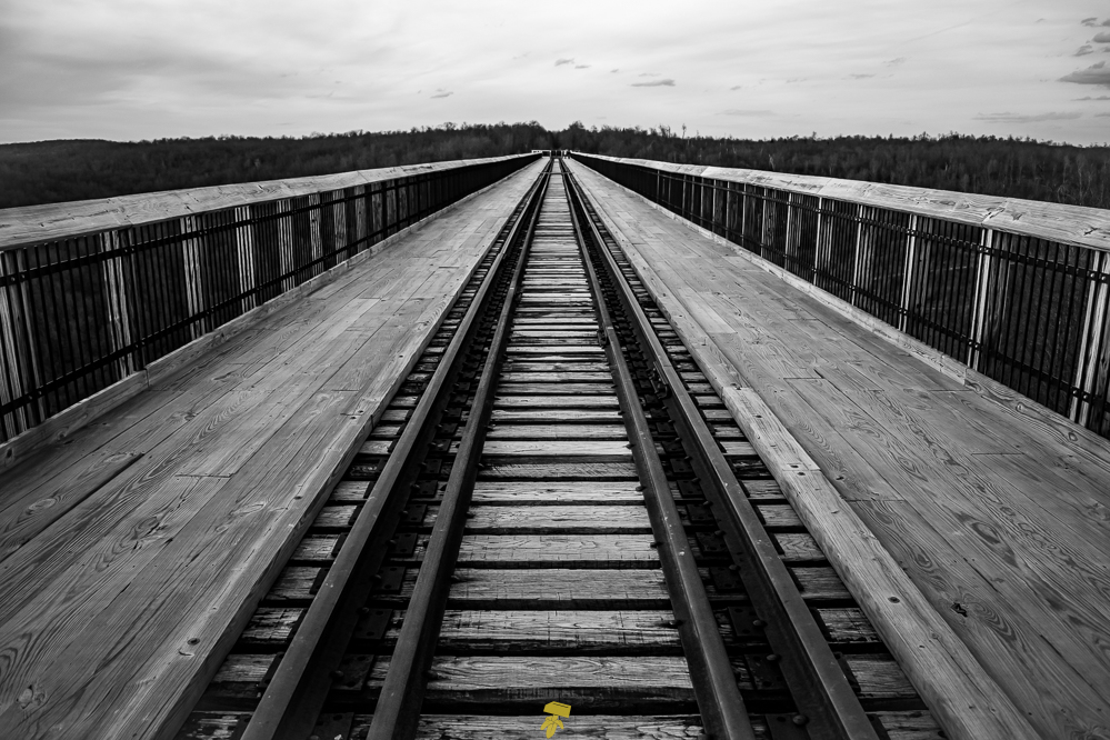
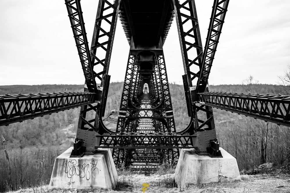
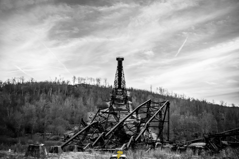
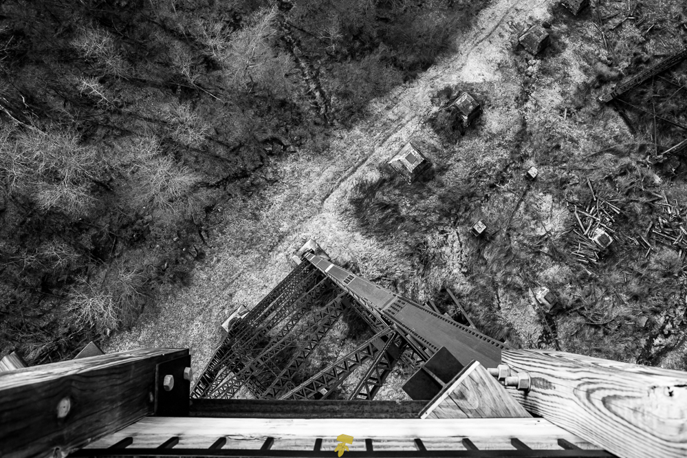
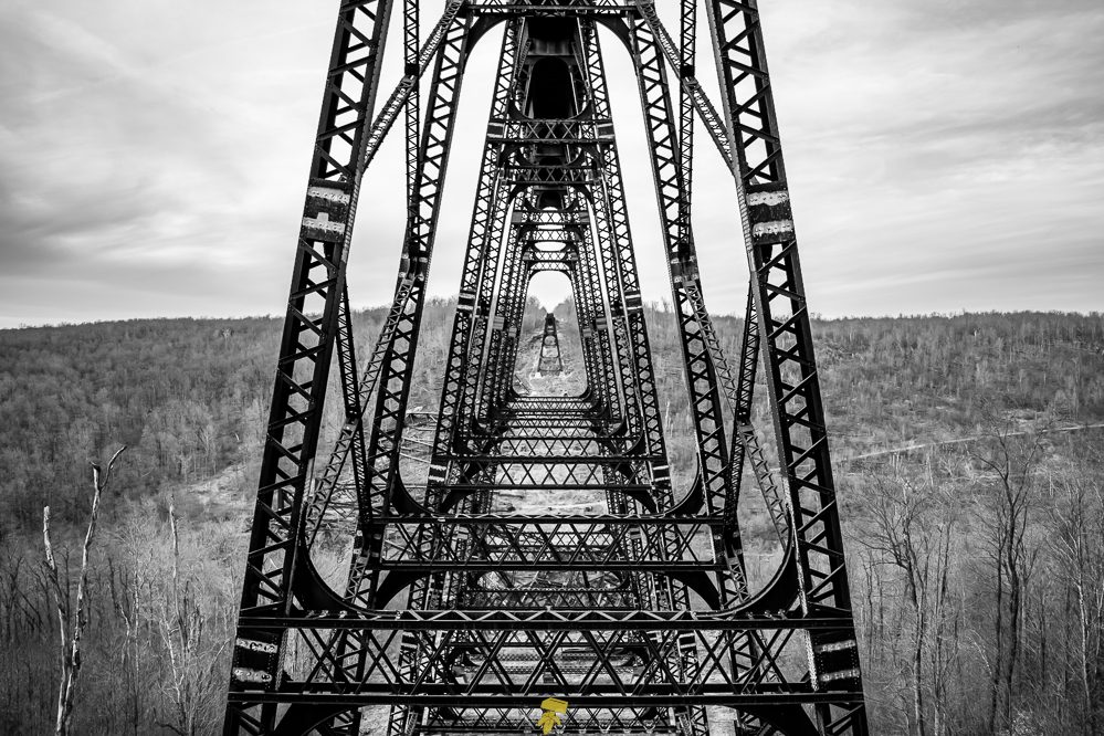
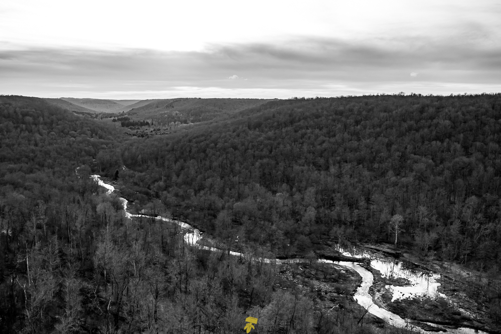
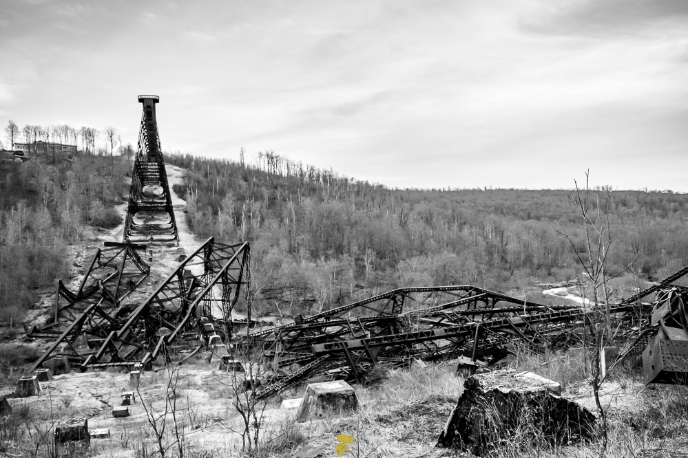
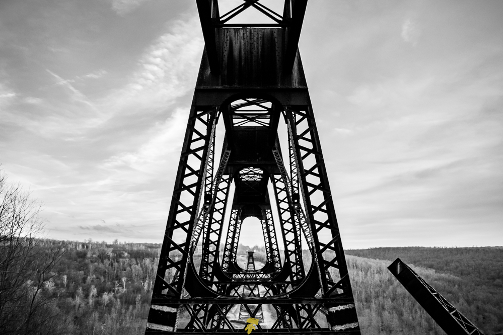
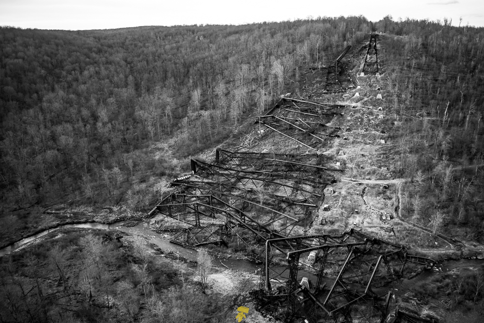
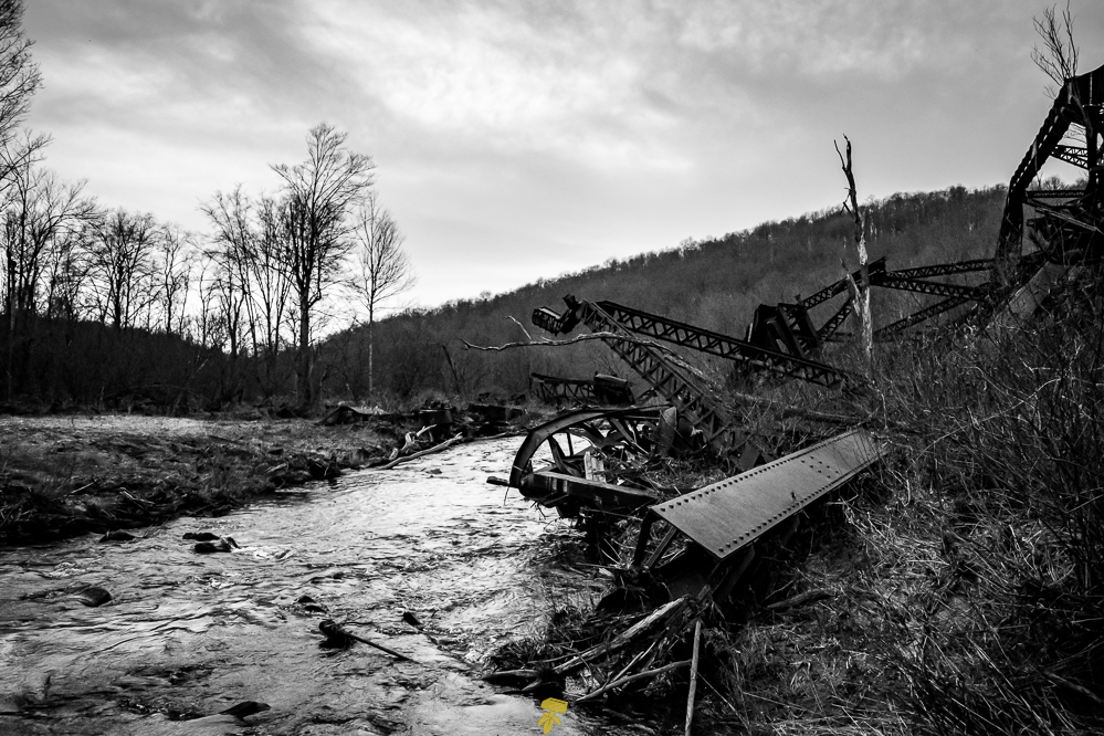
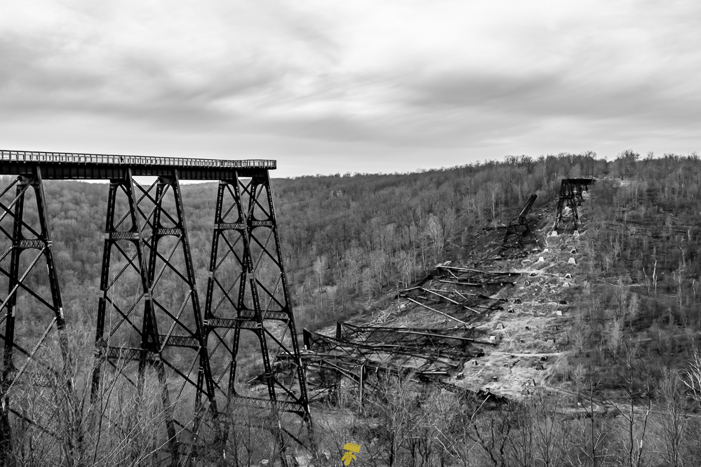
The plan is to catch sunset at the Kinzua Bridge, an old train track that was ripped apart by a tornado in 2003. The original wrought iron structure was built in 1882 and billed as the “Eighth Wonder of the World” holds the record for the tallest railroad bridge in the world for two years, being 2,053 feet long and 301 feet high. It stayed in commercial service until 1959 and since being cut in half, the bridge has been reinvented as a pedestrian walkway in 2011. From the visitor center, you can stroll 600 feet to a glass-floored observation deck with an expansive view of the Kinzua Gorge. Below you can see the remains of the twisted trestle, the mangled rails, and the large concrete foundation blocks.
The sun disappears and it starts to drizzle. Sitting in the car searching around for places to eat and possible places to crash for the night, I happen to glance out the window. While too busy looking up stuff, I didn’t notice that the rain stopped and the clouds had dispersed. So many stars! I got out of the car and realized I was the only person there and that the gate was left open. Deciding to stay there for the night, I ventured back out to the observation deck to lay down on the glass part and gaze upon the darkest sky I have ever encountered.
DAY 3: Alleghany National Forest
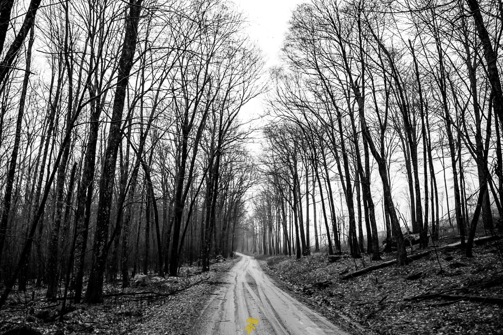
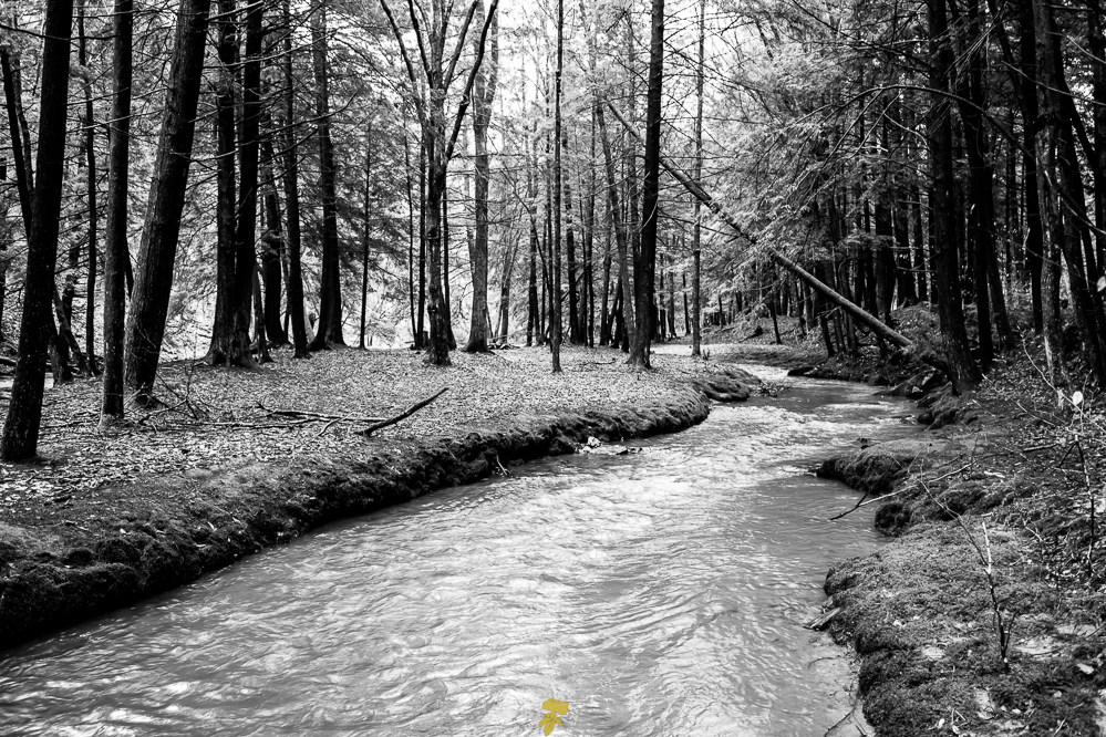
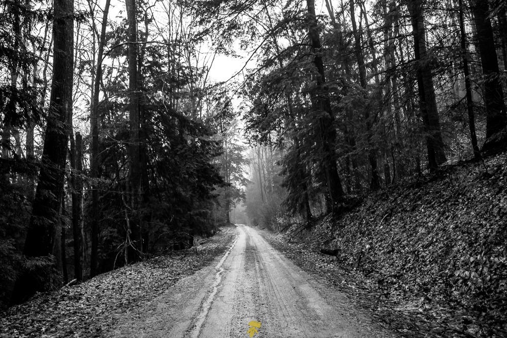
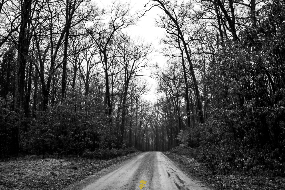
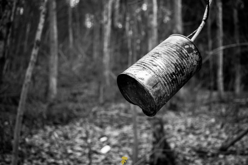
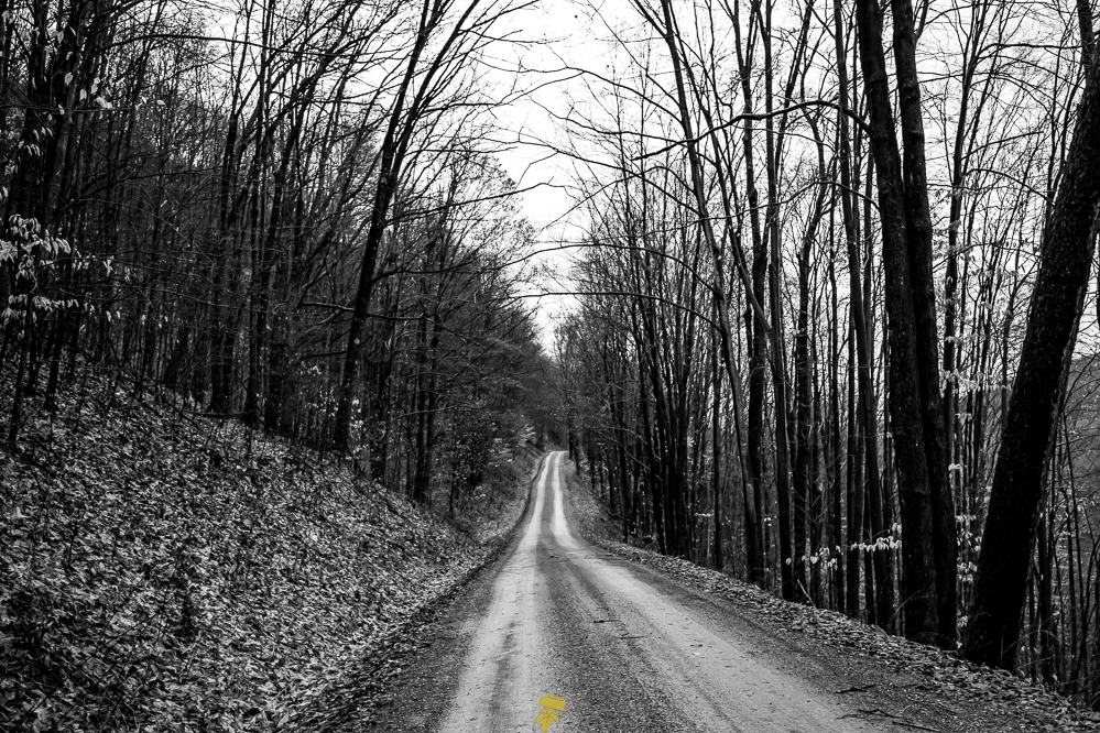
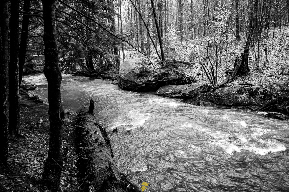
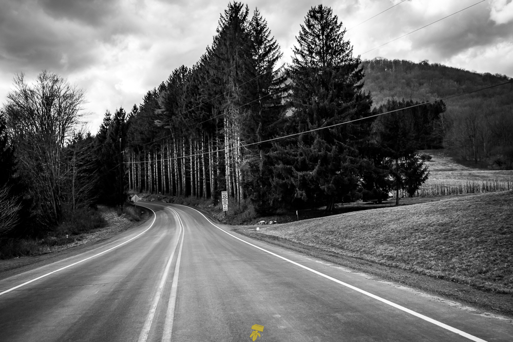
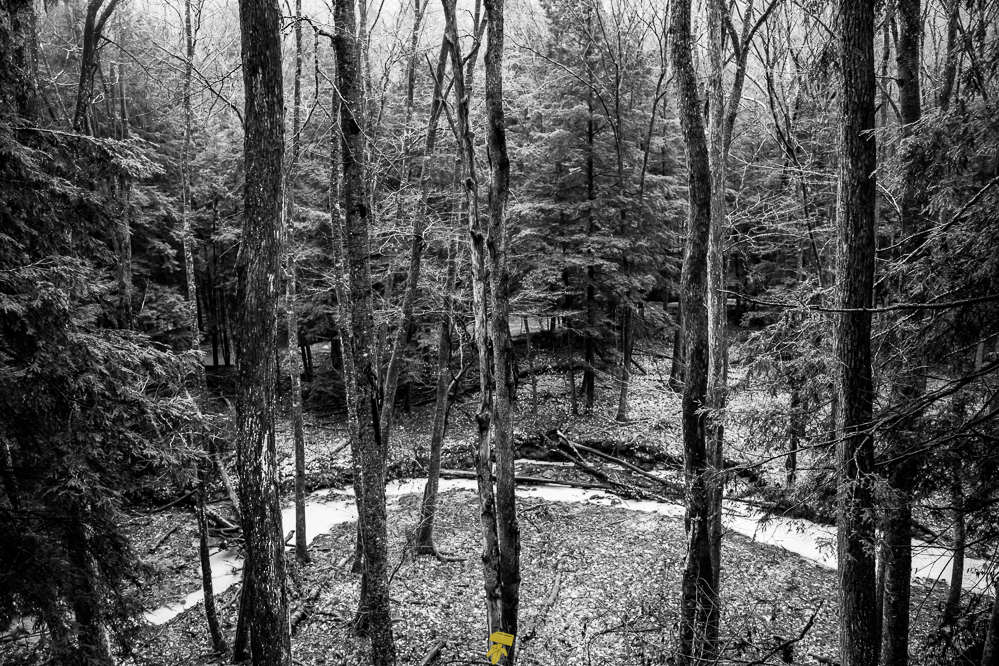
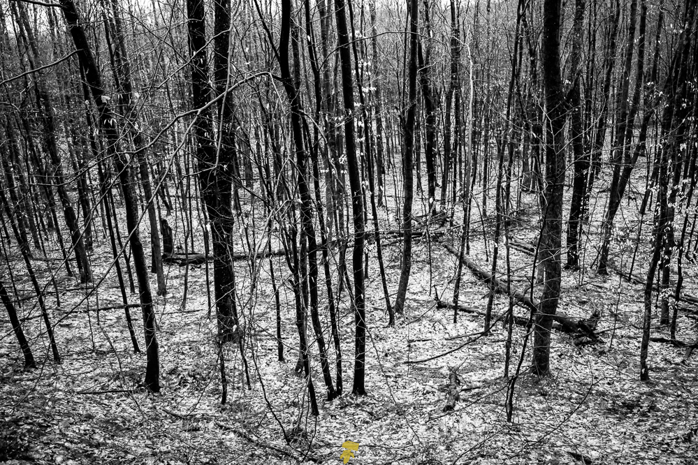
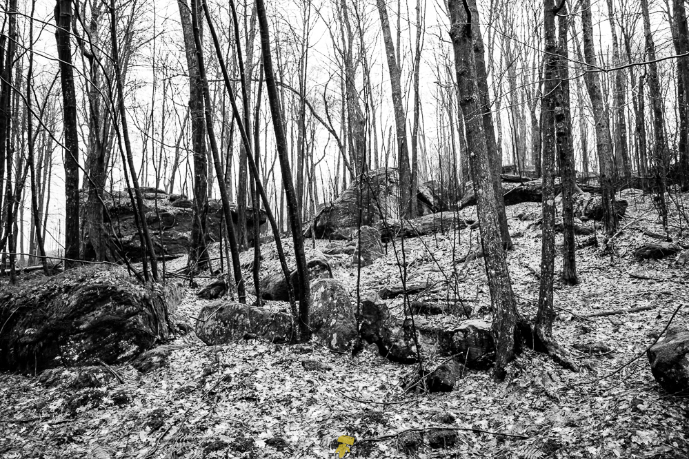
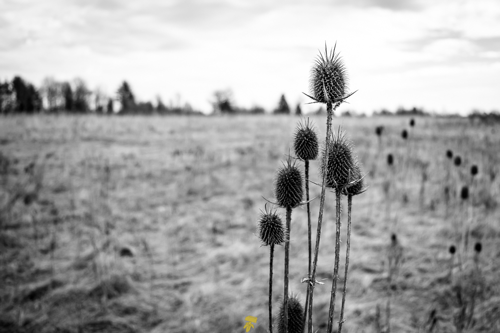
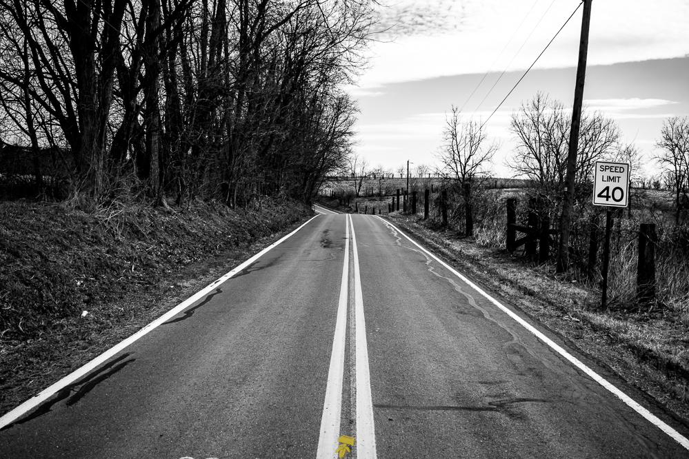
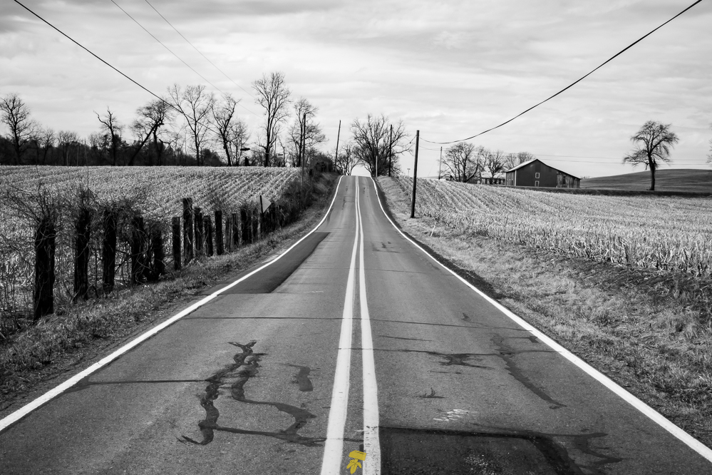
It’s a bit wet today, preventing any major hikes in the Alleghany National Forest, however, I take the opportunity to drive around the back roads for a while stopping to wander and take a few snaps here and there. This forest is simply enchanting. Route 666 also happens to cut through the forest from east to west. After several hundred miles of driving, I arrived at the main destination, a 33-mile stretch of road identified as Route 666.
The forecast calls for heavy rain, washing out my plans to camp in Alleghany. The new plan is to head southeast towards Tröegs Brewery to mark and cheers to the end of a giant loop around the state of Pennsylvania. After a snack and a beer, I load up on merch and beer-to-go and set back out on the road home.