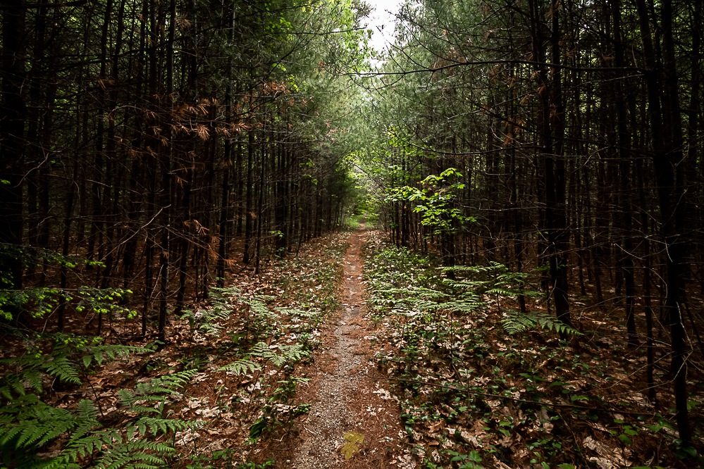
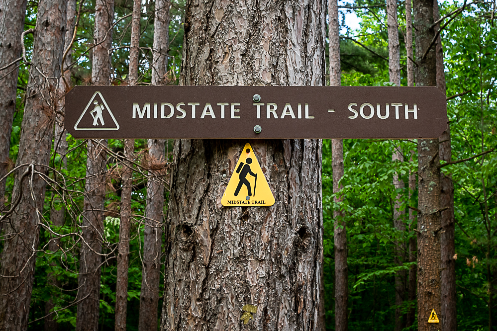
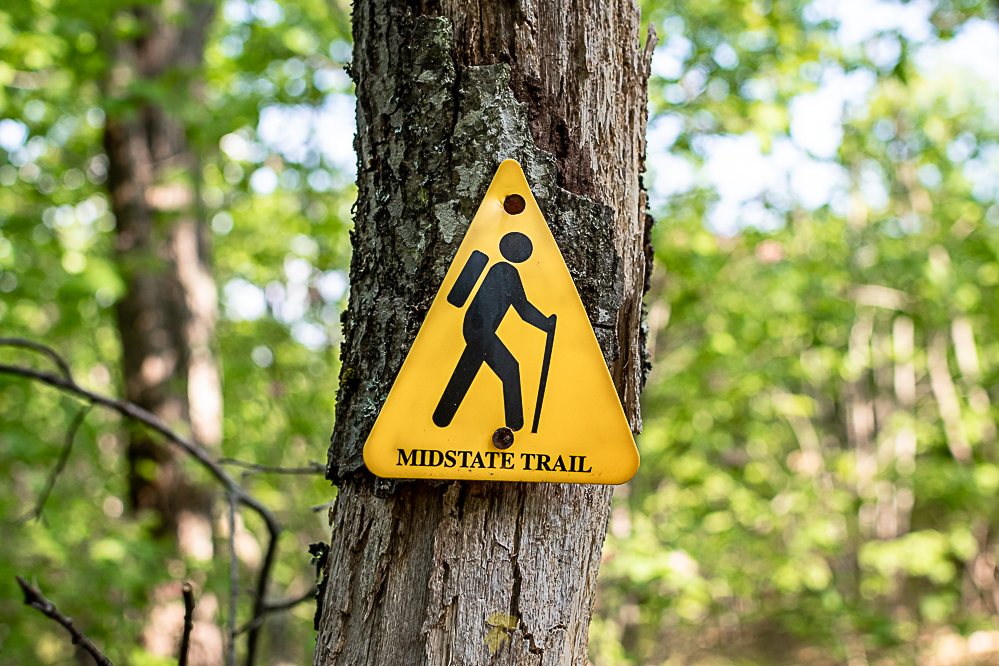
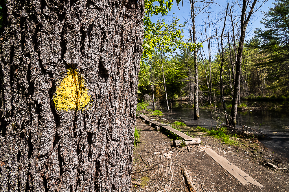
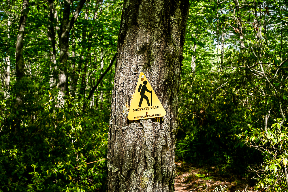
The Midstate Trail is a scenic footpath which runs 92 miles through Worcester County, Massachusetts, from the Rhode Island border to the New Hampshire border. The northern terminus of the Midstate Trail is located on the New Hampshire border on the Ashburnham/Ashby, Massachusetts town line just north of the summit of Mount Watatic. The southern terminus is located on the Rhode Island border in Douglas, Massachusetts in Douglas State Forest.

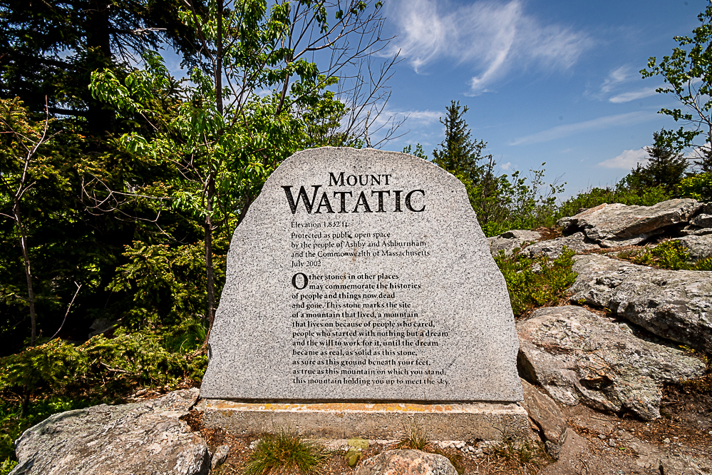
Monument on the summit of Mount Watatic.
Day 1 – Ashburnham to Westminster
12 miles
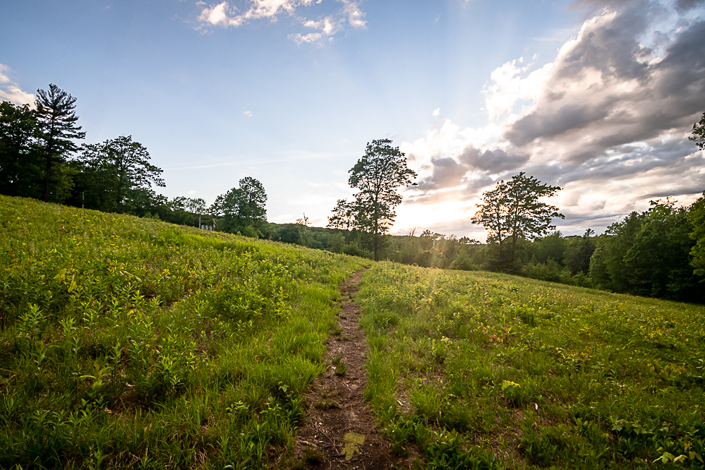
Arriving at the Mount Watatic Trailhead at 10:00, I set out to the northern terminus that is tucked about a mile away. An easy jaunt, but it’s late May and the bugs immediately make themselves known. It’s sunny and 75° at the moment, but as I reach the summit of Watatic, the temperature broke 80. The only people I saw on trail were around here. There is a loop from the trailhead to the summit of the 1,832-foot monadnock and back around that is pretty popular.

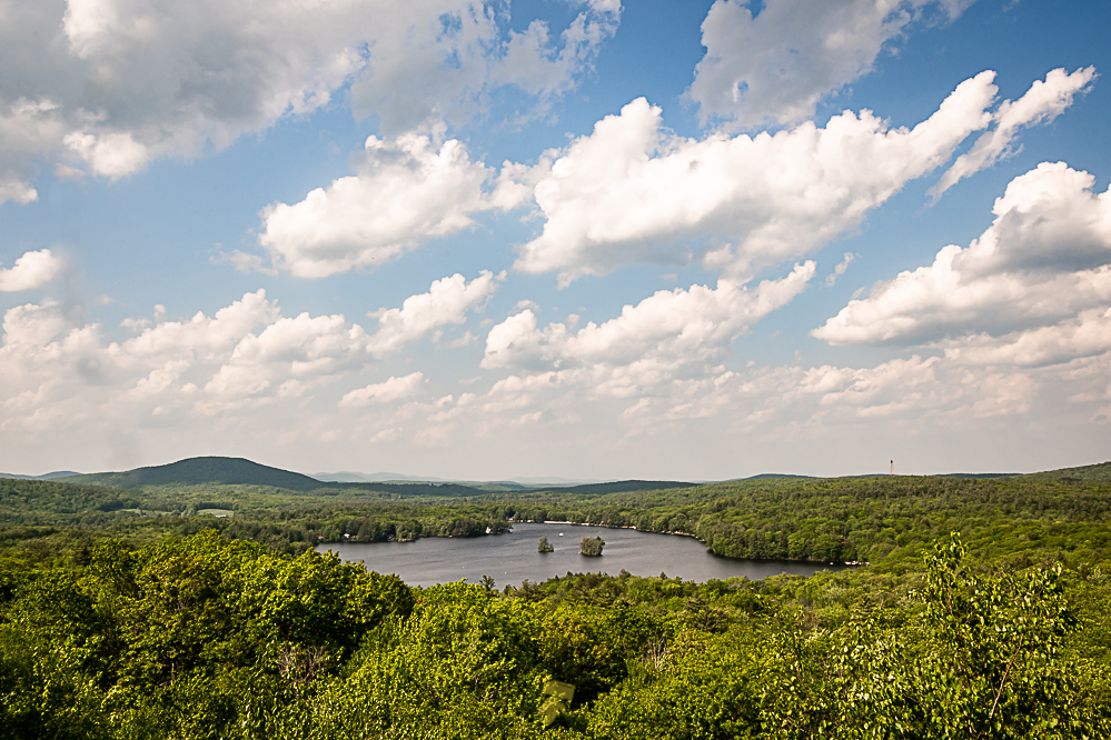
The view from Mount Hunger.
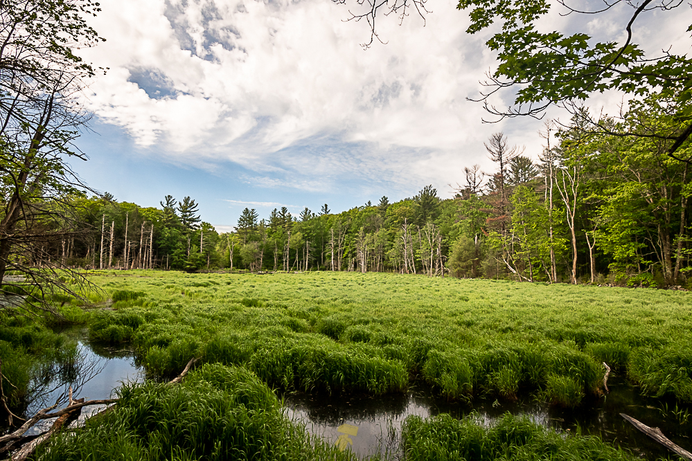
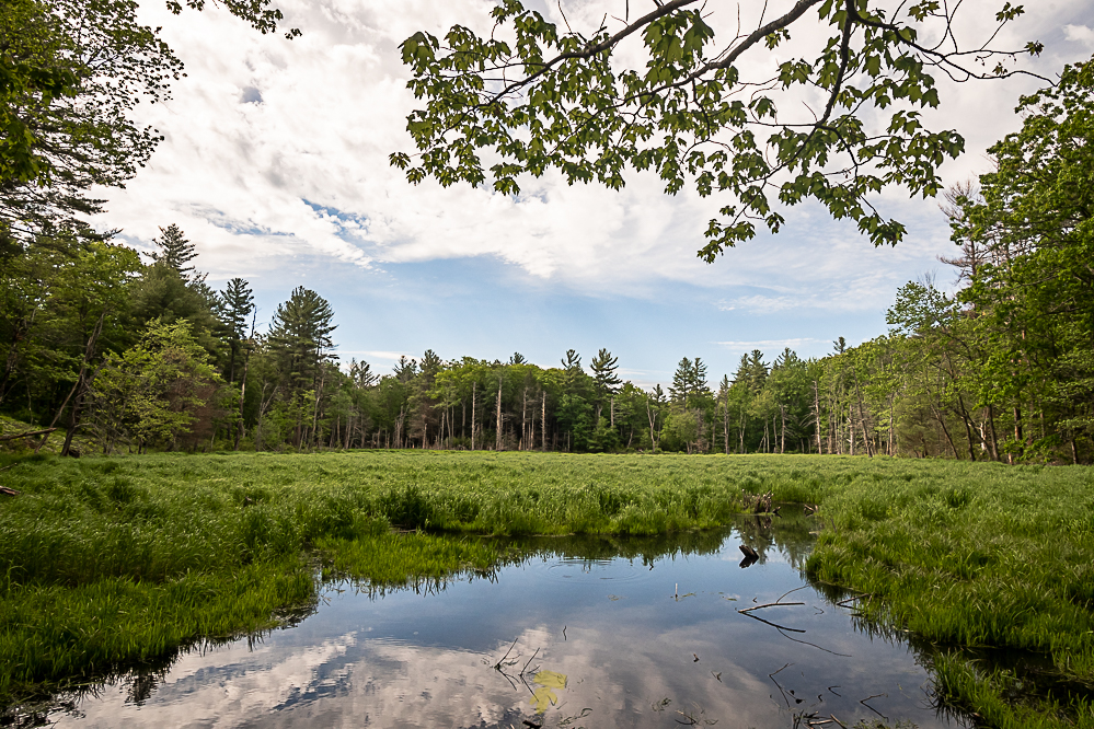
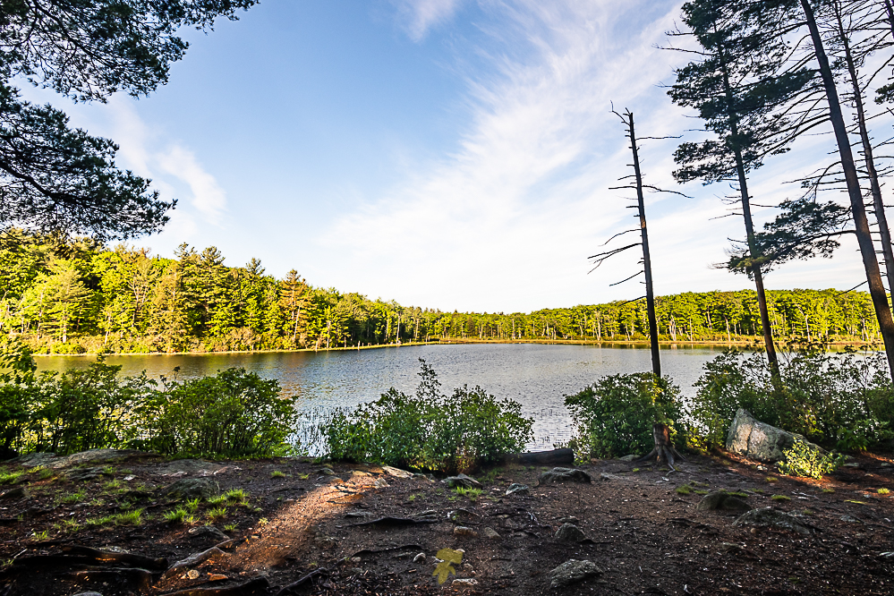
It’s 14:30 and I am passing Winnekeag Lake as toads, chipmunksm and even a snake guide the way. Tempting a quick swim I decide to push on as there are several miles in front of me still. By 1600 I reach Mount Hunger which offers an excellent view of Stodge Meadow Pond with Mount Watatic in the distance. The bugs here got absolutely terrible, including ticks, and it’s pushing 90°.
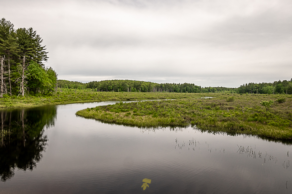
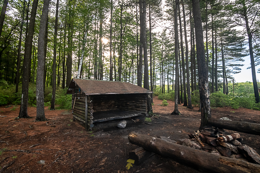
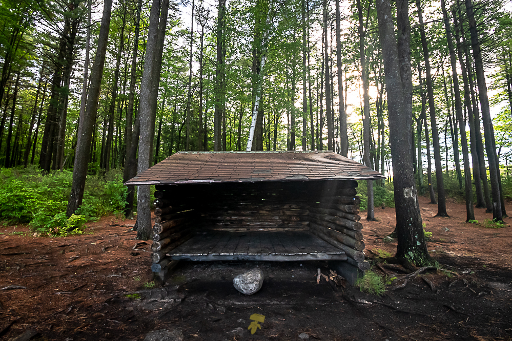
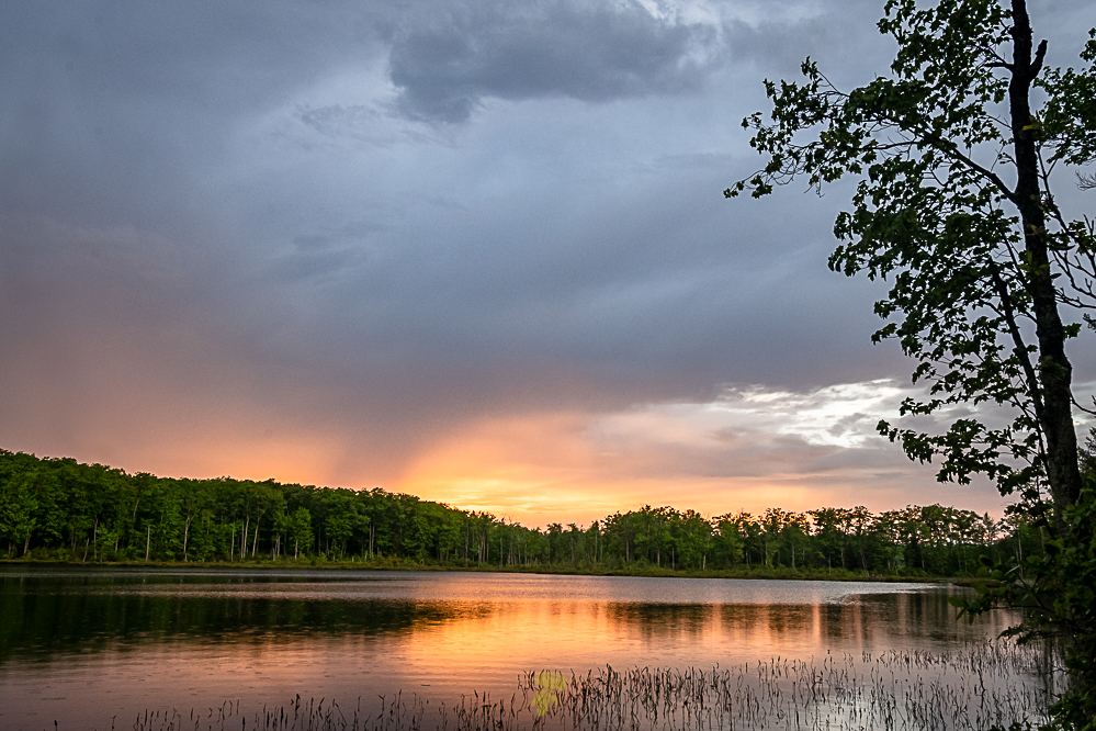
The wind is picking up as the clouds begin to turn gray as I cross Fitchburg Road in Ashburnham. There’s a thunderstorm coming and I am one mile away from camp. I reach Muddy Pond Shelter as the first drops of the storm fall. Shame I won’t be able to use the firepit here, but being outside during a storm like this has it’s charm. The steady knocks of rain hitting the shelter roof and the splashing from the pond. I settle in and eat my cold ramen noodles while watching taking in the storm and the serenity it can bring.
Day 2 – Westminster to Princeton
12 miles

Muddy Pond Shelter
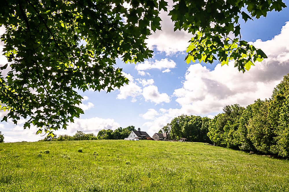
Waking up to sunny skies and chirping birds, I embrace the cool morning air and begin to pack up. It’s 0730 and I have to make it over Mount Wachusett today, another 12 miles away. Passing Graffiti Bridge along Oakmont Avenue in Westminster was a bit sketchy as there are no sidewalks and the roadway narrows with cars coming from both directions. Upon getting to the little stretch of trail around Schenk Farm, I took a break to eat a snack and enjoy the lovely scenery. At the southern end of their property, there is a mailbox by the gate that has some smaller supplies such as hand sanitizer, Band-Aids, and a logbook.

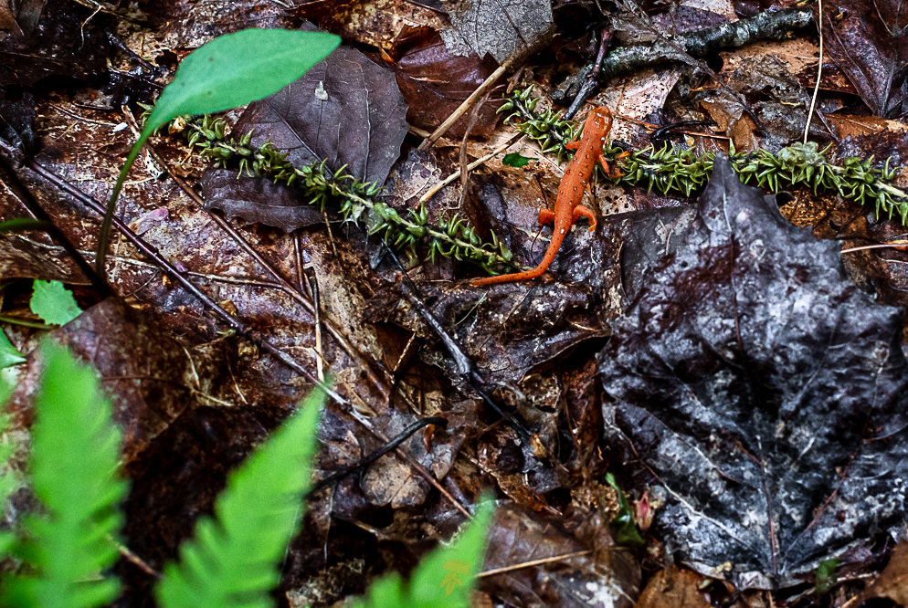
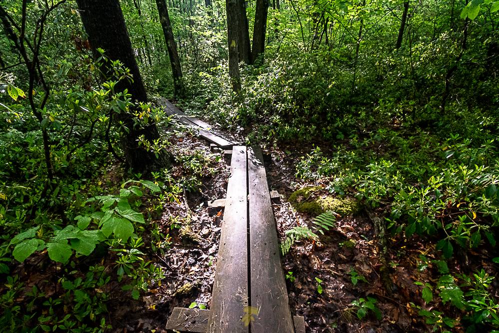
Salamanders everywhere!
Deciding I cannot climb Mount Wachusett without a summit beer, I deviate from the path and take the 1.5 mile road walk to Wachusett Brewing company, but first making a stop at Mike’s Pizza. The pizza was not all that good and upon viewing the menu at Wachusett wish I had ate there as they have a full kitchen menu with salads, burgers, mac & cheese, and standard pub fare. I did end up getting a salad, after the two Strawberry Ales and one Mass Soul IPA, purposely drinking beers reminiscent of spring and the adventure at hand.

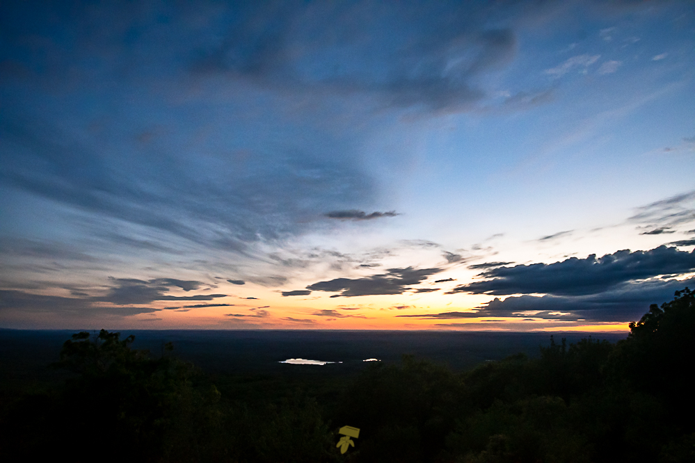
View from the summit of Mount Wachusett.
Behind schedule now, I get startled by a head of a rock climber poking up as they reach the top of Crow Hill Ledges as I pass by on the trail. Here I am expecting a bird or some forest creature and a human head sticks out of the rocks looking right at me. It’s now 19:00 as I reach Redemption Rock, the weather is calm and cooling at 70°, but I’m losing sunlight. I was hoping to catch sunset on the summit, but missed it by mere moments. I stealth camp nearby and go back to the summit for photos, but increasing winds, decreasing temperature and clouds interrupting my view of the stars makes it a short effort. Aside from the couple rock climbers, I had only encountered 2 other people on trail.
Day 3 – Princeton to Barre Falls
14.5 miles

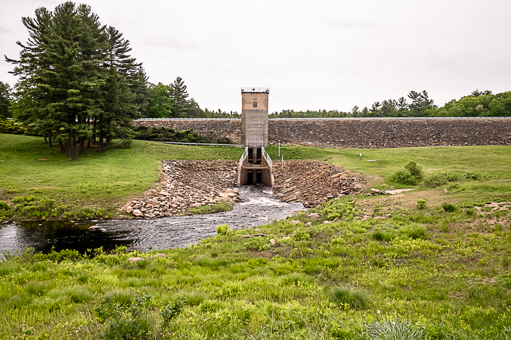
It’s a brisk 43° as I depart from my campsite at 07:30. Wachusett Meadows was a beautiful stretch of trail, especially so early in the morning. This day was by far the most scenic section of the trail thus far. It just kept changing so quickly, and everything was simply delightful. Spring in all it’s glory. But with spring, comes rain. Upon reaching Barre Falls Dam it began to rain again.

Barre Falls Dam
I refilled my water supply at the spigot by the door of the engineering building. Realizing that I can order delivery, hailed a steakbomb sub, fries, and a 2-liter of root beer and contemplated continuing. Forecast is calling for 3 days of rain. That means, no campfires the entire trip and minimal photos will be taken.
Photo-documenting the hike was the main initiative to do the trail and now that is being compromised. With the forecast getting worse, the call was made to attempt the thru-hike another time.

