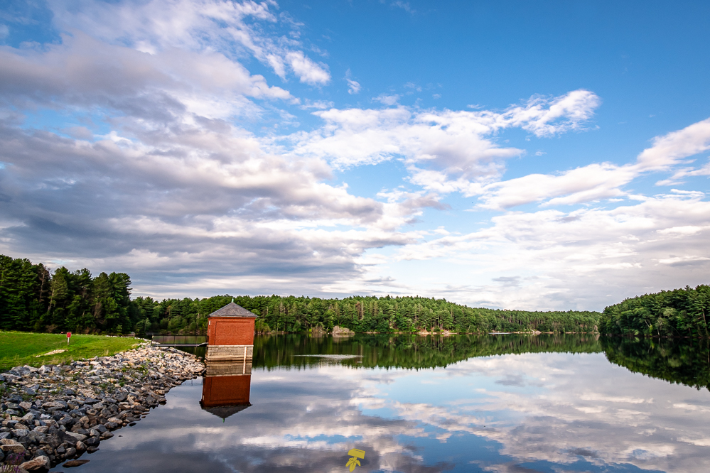
Located about 10 miles north of Boston, The Middlesex Fells Reservation is a public recreation area where you can hike, bike, cross-country ski, and kayak along the lands and waters.
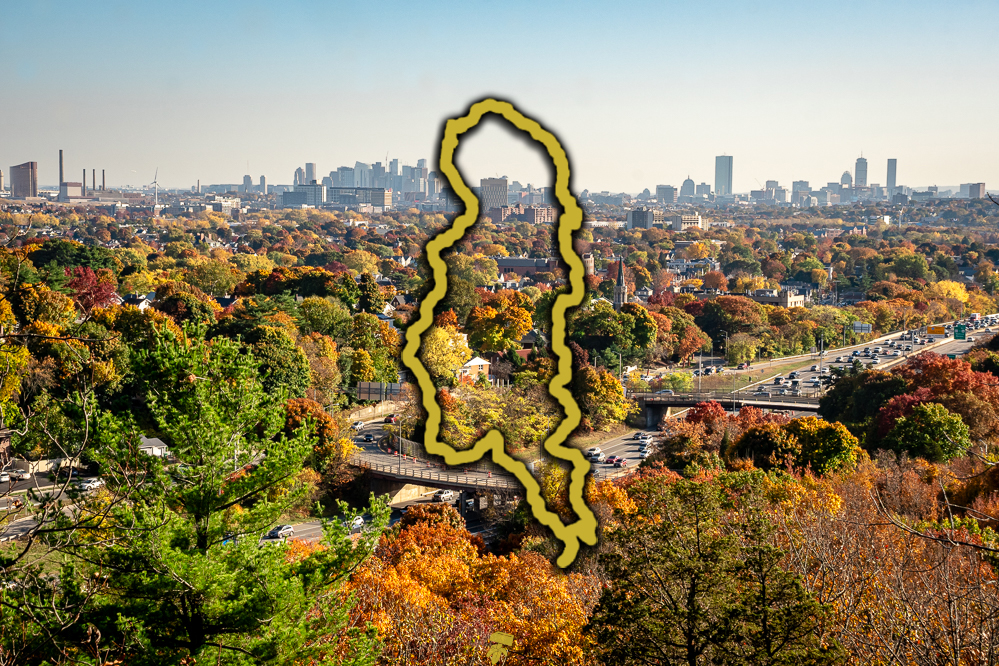
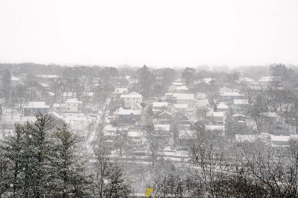
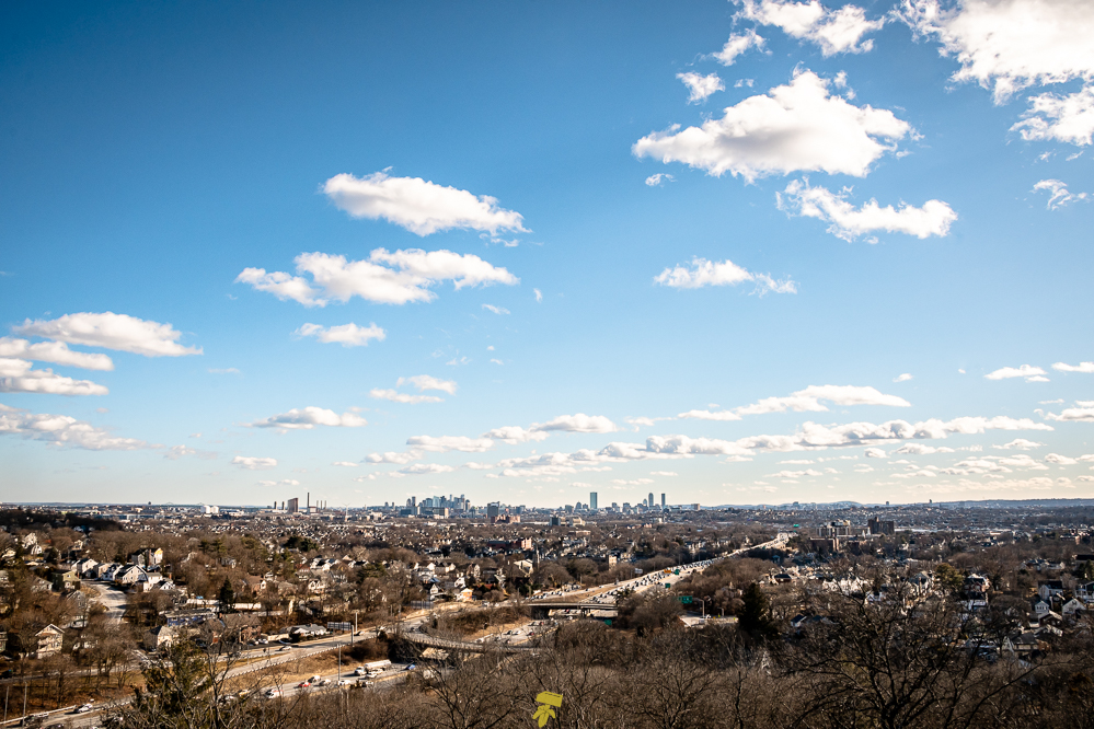
Covering more than 2,200 acres of forest, wetlands, and rugged hills in Malden, Medford, Melrose, Stoneham, and Winchester, Massachusetts, the large hilly wooded area offers views of the city skyline and surrounding neighborhoods along its 100 miles of trails.
QUICK DETAILS
Distance: 8 miles
Permits: None
Elevation Gain: ~940 feet
Blaze Color: White
Camping: Not allowed
Fires: Not allowed
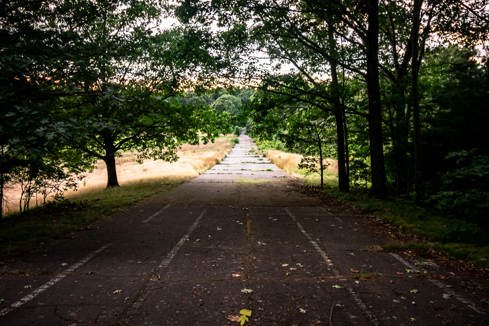
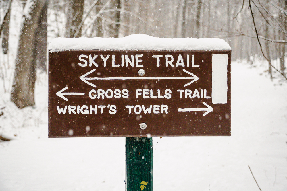
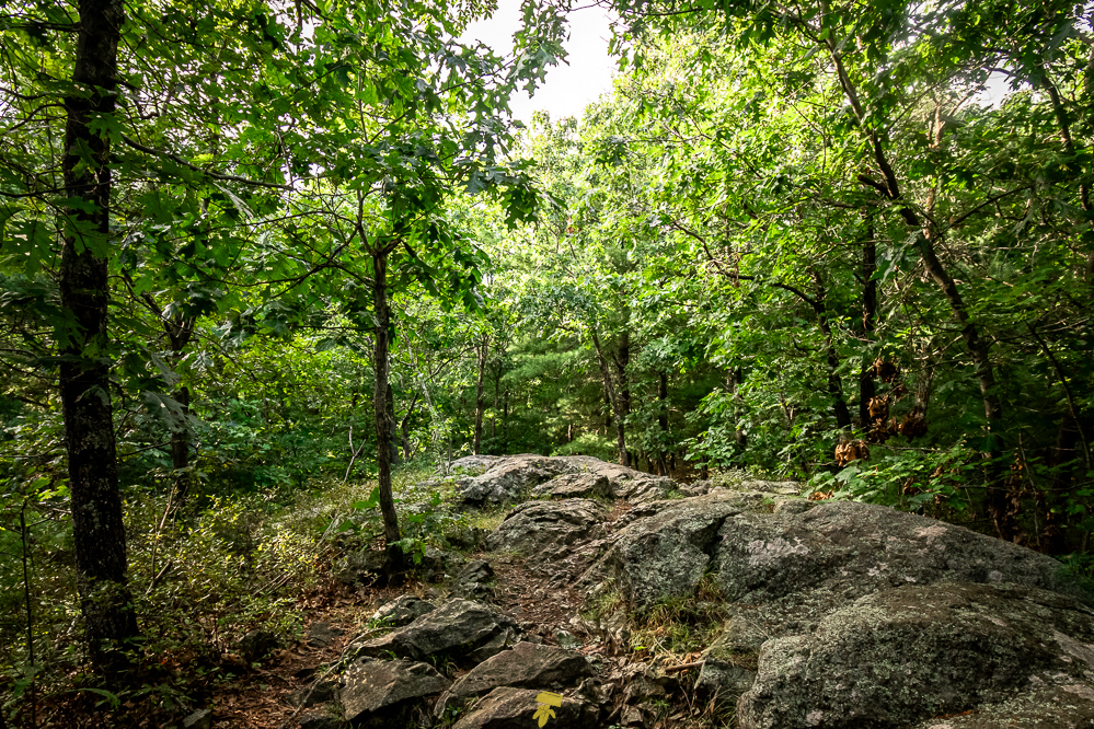
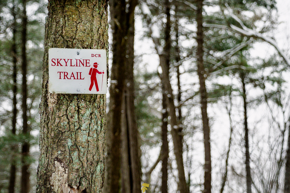
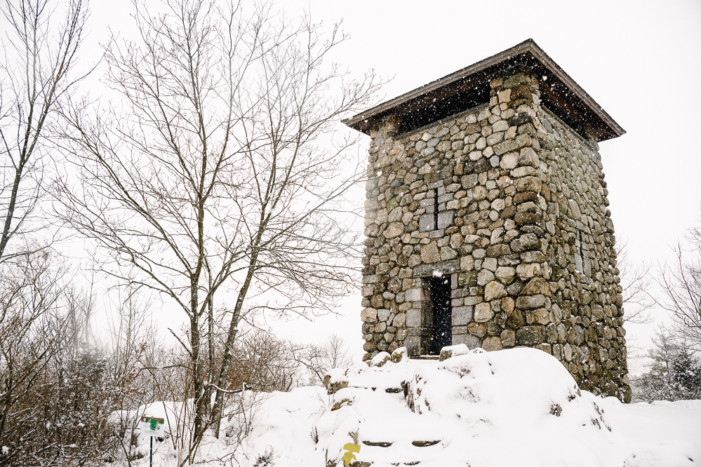
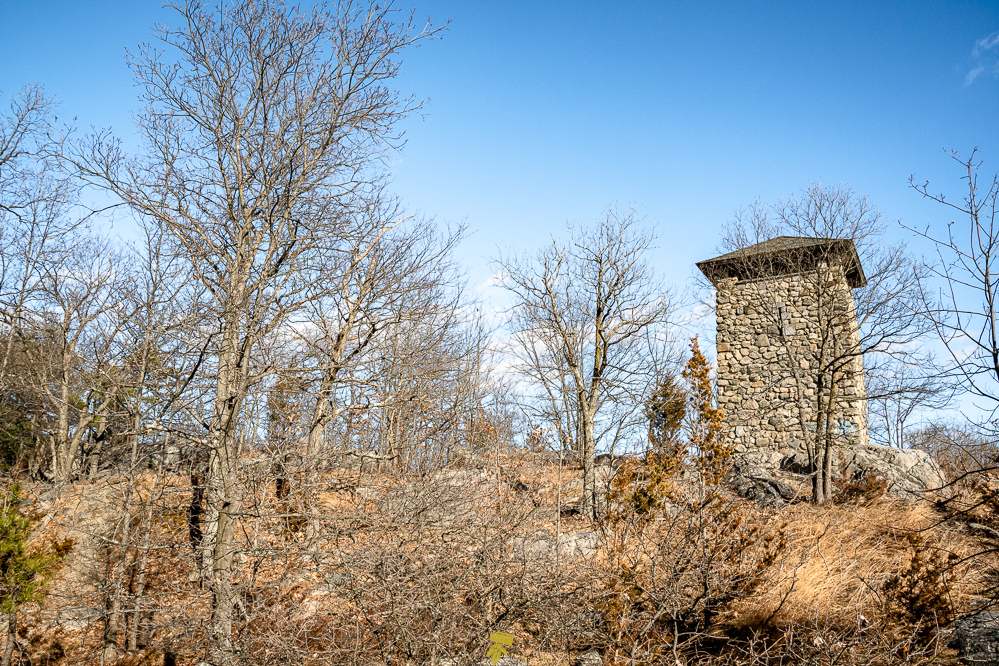
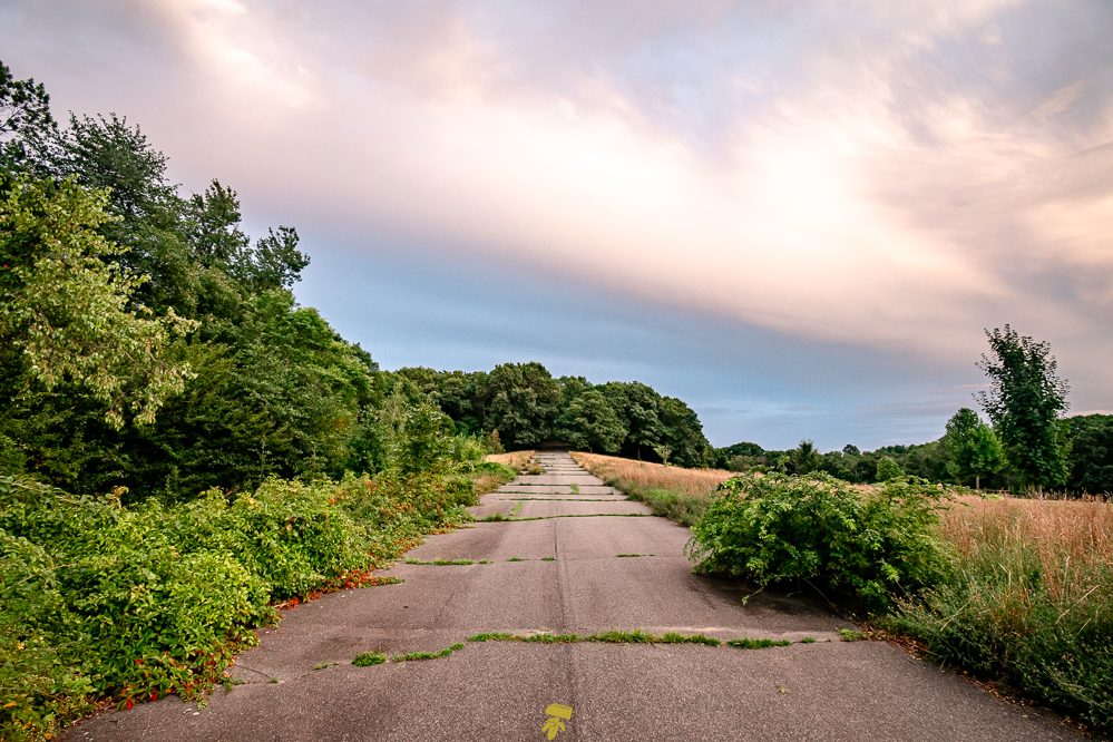
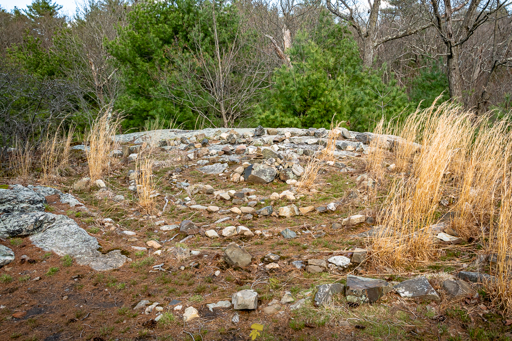
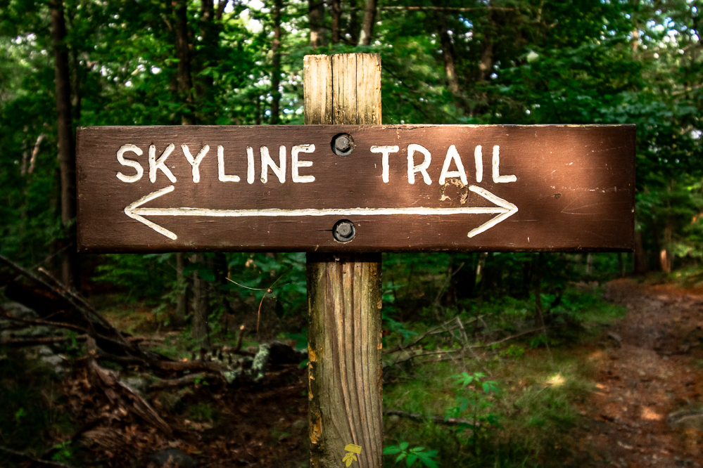
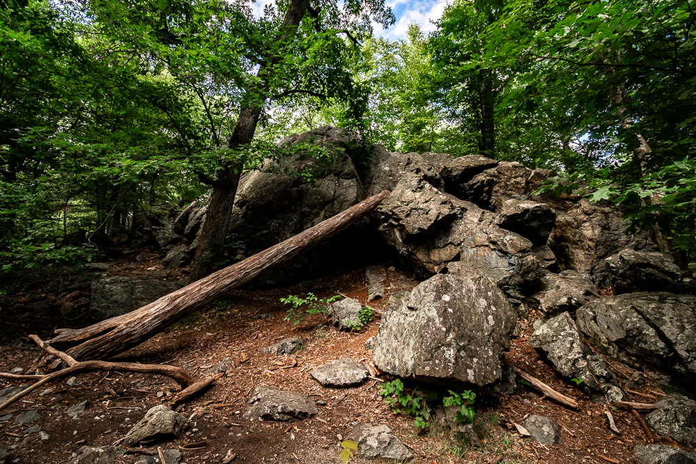
The Skyline Trail is an 8-mile loop trail located in the west section of the Middlesex Fells Reservation. It circles around three reservoirs and lower woods, with Interstate 93 to the east. The path passes notable locations such as Panther Cave (42.43472, -71.1105), Wright’s Tower (42.4327, -71.10489), and an old soapbox derby track (42.45486, -71.1069). The terrain is typical of Massachusetts, with rocks scattered about and roots protruding from the ground.
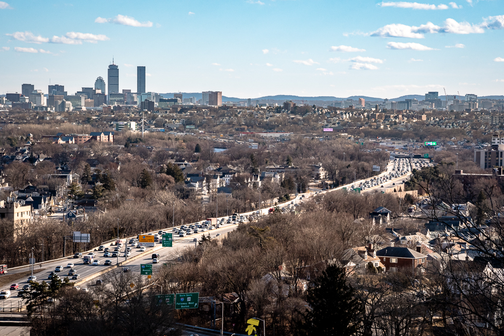
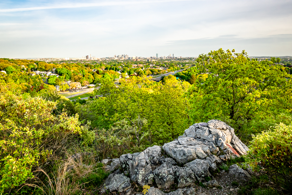
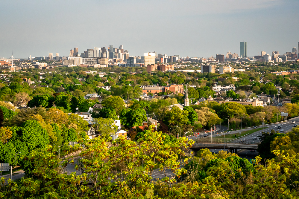
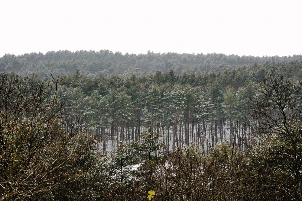
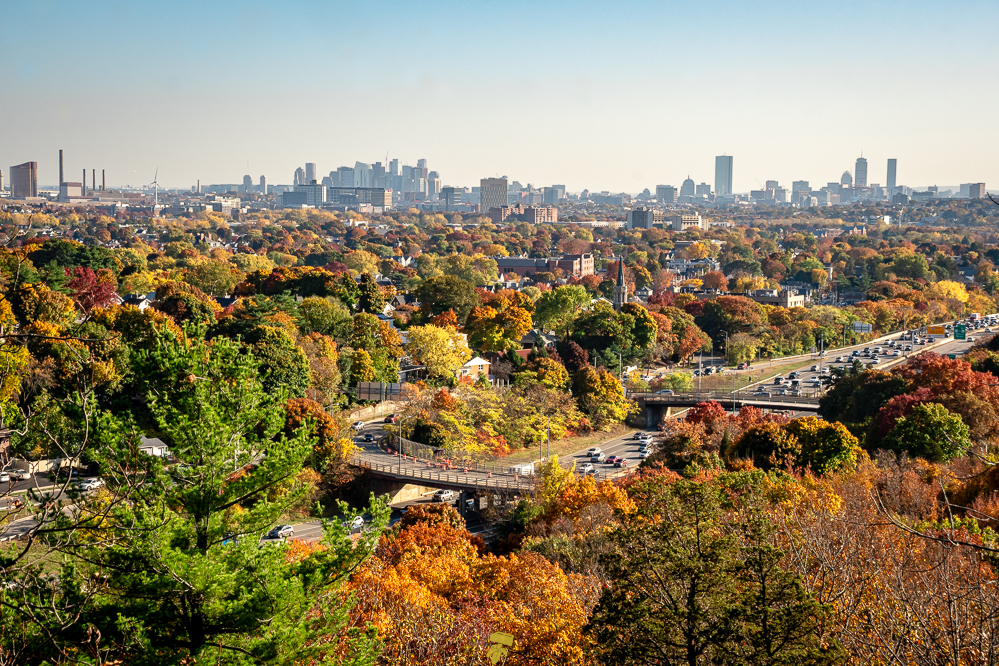
The Skyline Trail takes you over a series of small hills, some of which have rather steep ascents, throughout the loop. Gerry Hill (255′), Money Hill (205′), Pasture Hill (200′), Pine Hill (243′) – where Wright’s Tower is located, Silver Mine Hill (255′), Wenepoykin Hill (225′), Winthrop Hill (291′), and the highest point on trail Nanepashemet Hill (295′). Pine Hill offers the best view of Boston with Medford below and Everett, Somerville, and Charlestown leading into the city.
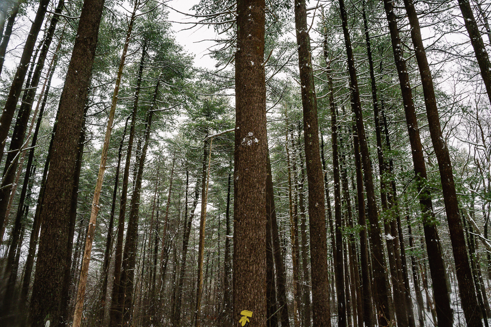
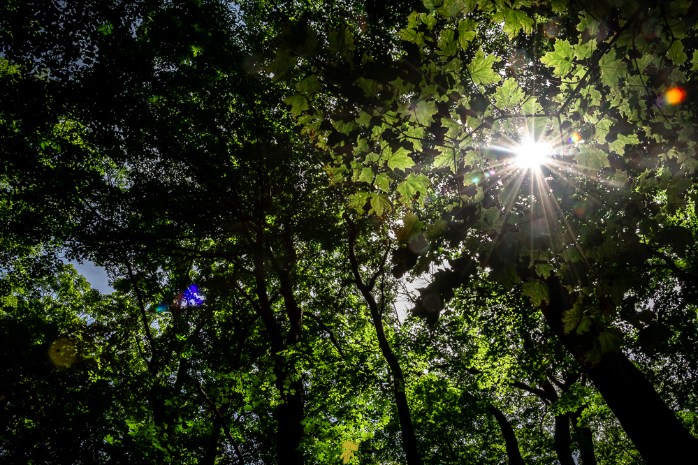
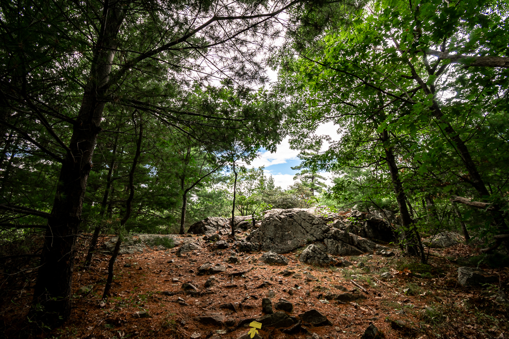
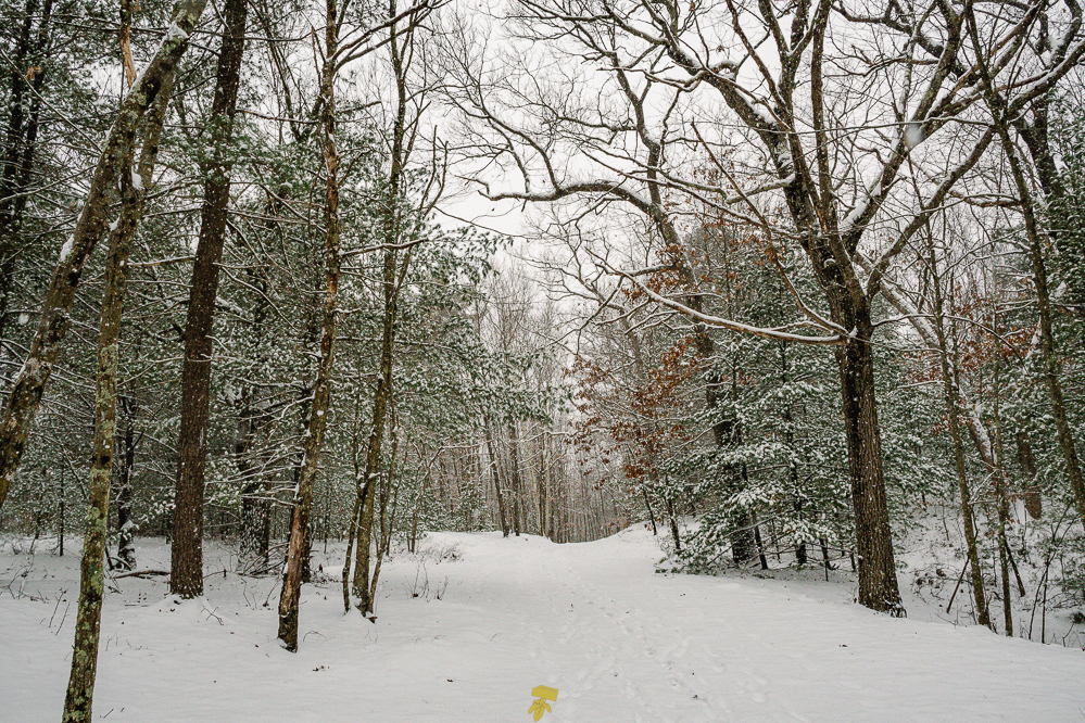
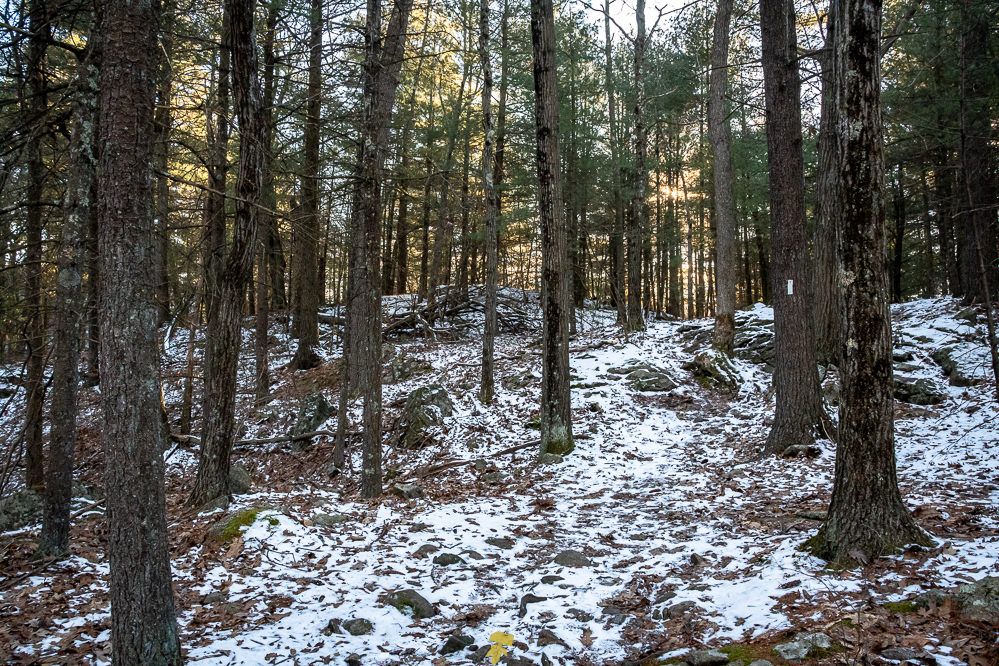
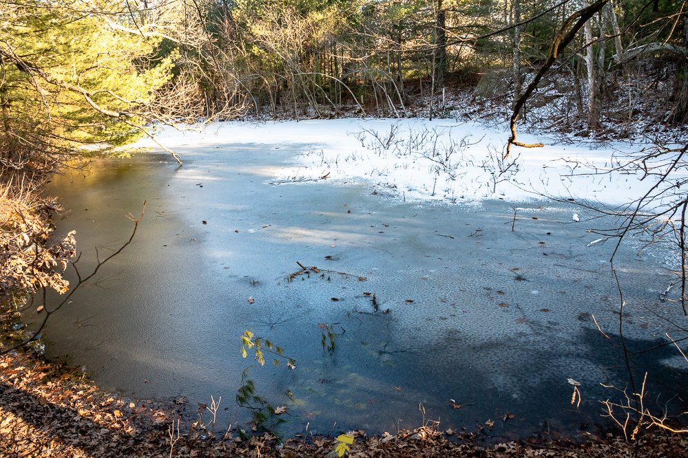
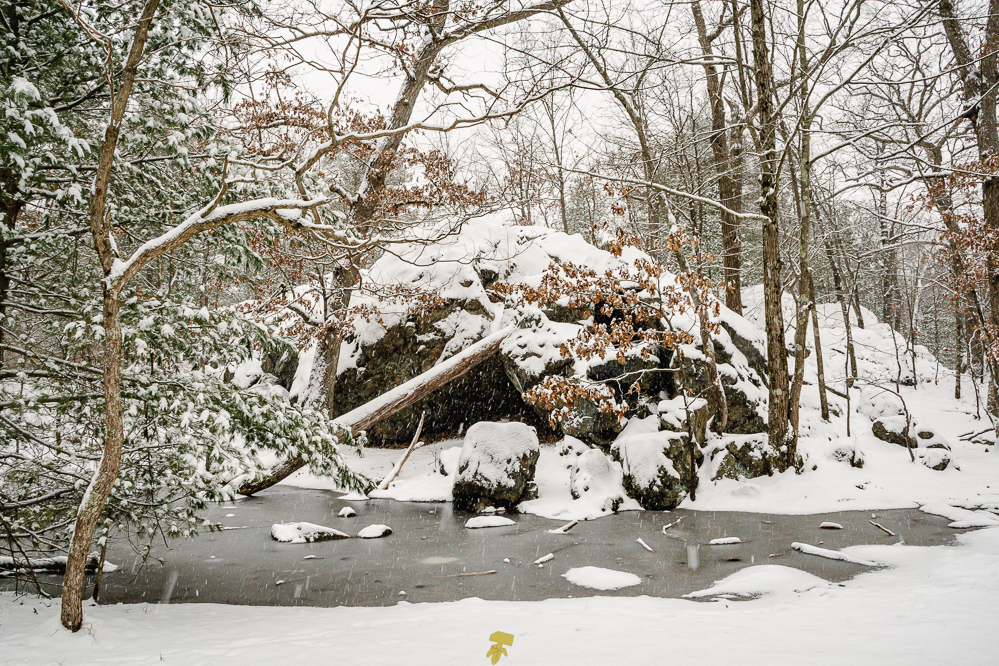
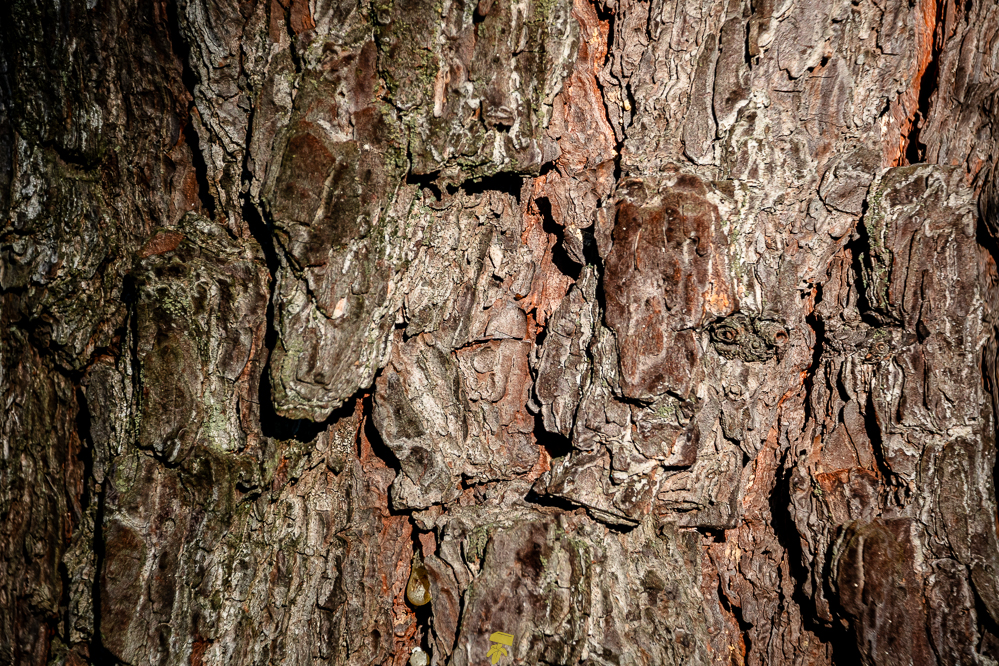
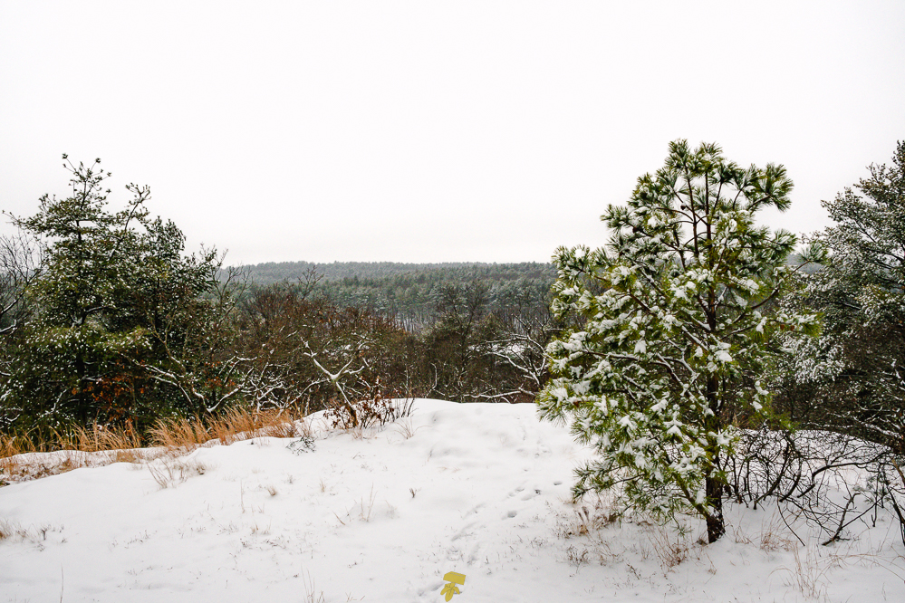
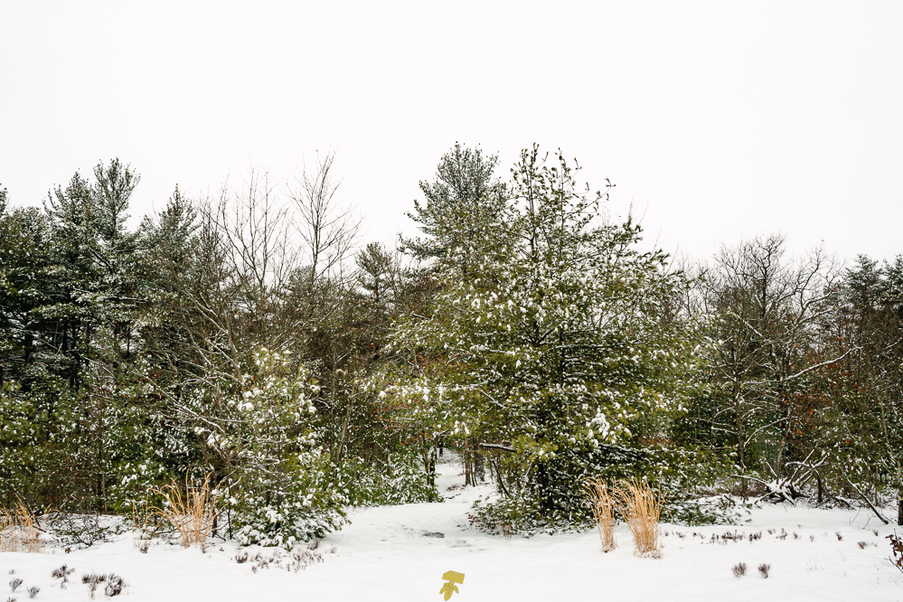
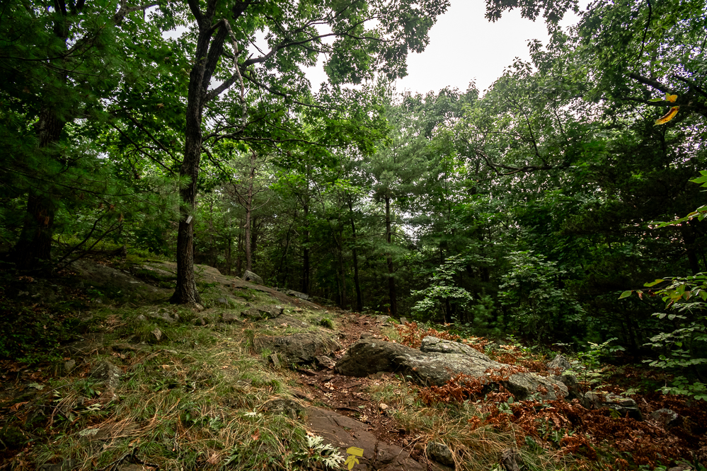
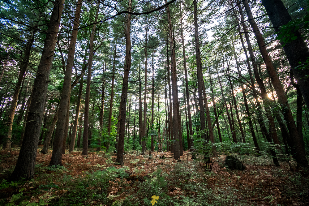
The majority of the white-blazed path is wooded, with the west portion of the trail being more coniferous and the east boasting more deciduous trees. Along the way, you will pass fields, vernal pools, wetlands, rocky outcrops, and ponds.
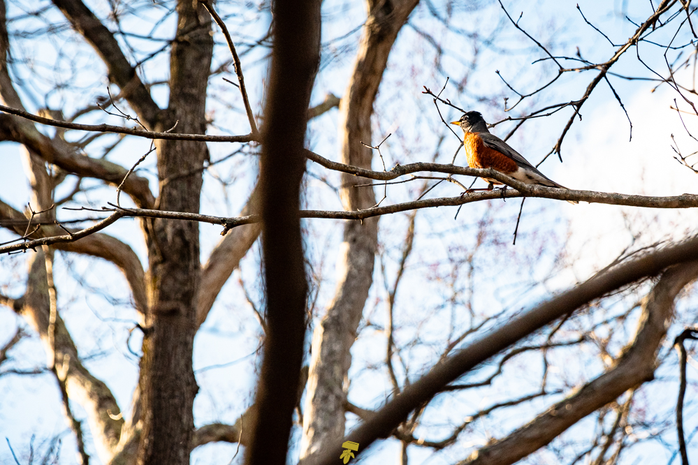
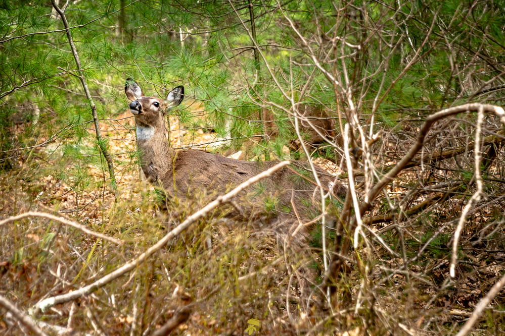
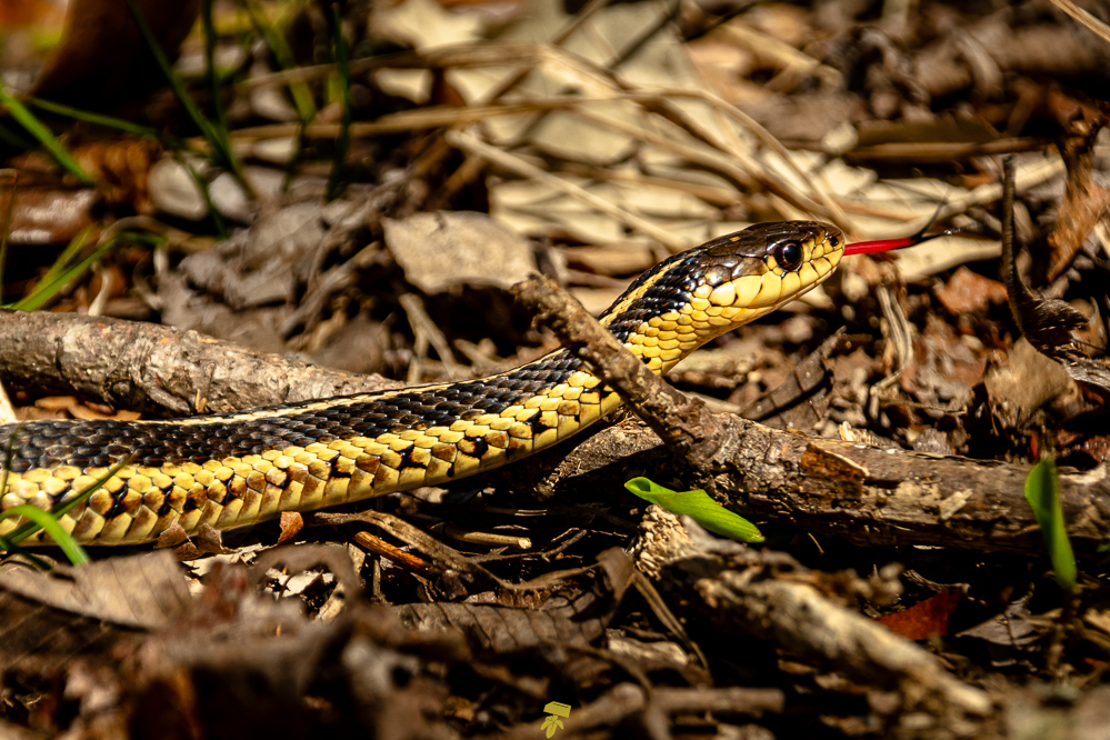
Normal woodland animals may be found including white-tailed deer, turkey, eastern chipmunk, coyotes, skunk, mink, squirrel, rabbit, and other critters. Keep an eye open around vernal pools and creeks to spot garter snakes, wood frogs, salamanders, and spring peepers.
Over 180 common and not-so-common birds have been spotted include the Mourning Dove, House Finch, Yellow-rumped Warbler, Blackpoll Warbler, Turkey Vulture, Barred Owl, Red-shouldered Hawk, and Ruby-throated Hummingbird. The Massachusetts Audubon Society has designated the Fells and Important Bird Area (IBA) for it’s importance as a migratory resting area.
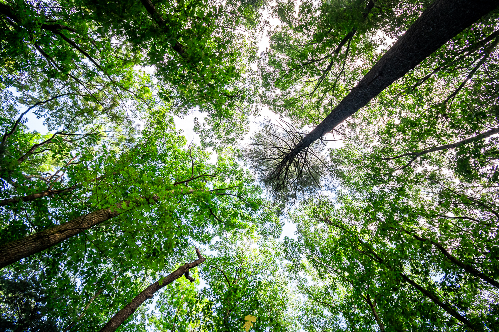
With over 500 native and 300 non-native species, the forest contains a lot of plants. The majority of forest is a mix of ash, beech, birch, fir, hemlocks, hickory, maple, white and red oaks, white, red, and pitch pine, and spruce trees. Down by your feet, you may find striped wintergreen, ghost pipe, Canada mayflower, partridgeberry, pink lady’s slipper, eastern skunk cabbage, jack-in-the-pulpit, common jewelweed, and eastern teaberry.
Considering the park is located in a very densely populated area, getting that “isolated in nature” feeling is hard to come by as you will most likely encounter other hikers, trailrunners, dog walkers, and mountain bikers. A buzz of vehicle commotion can be heard as the trail runs parallel to Interstate 93 for a few miles. Planes and helicopters flying overhead are quite common as well.

While the trail lacks views and privacy, it’s a lovely trail full of flora and fauna and a great example of the woodland in Massachusetts. It is not uncommon to find people training for competitions and longer trails while in the Fells.
Being an 8-mile trail is just long enough to get a day’s distance in to test out new gear, figure out mileage time, or determine how much water you may need to bring all while staying close to home.
REPORT
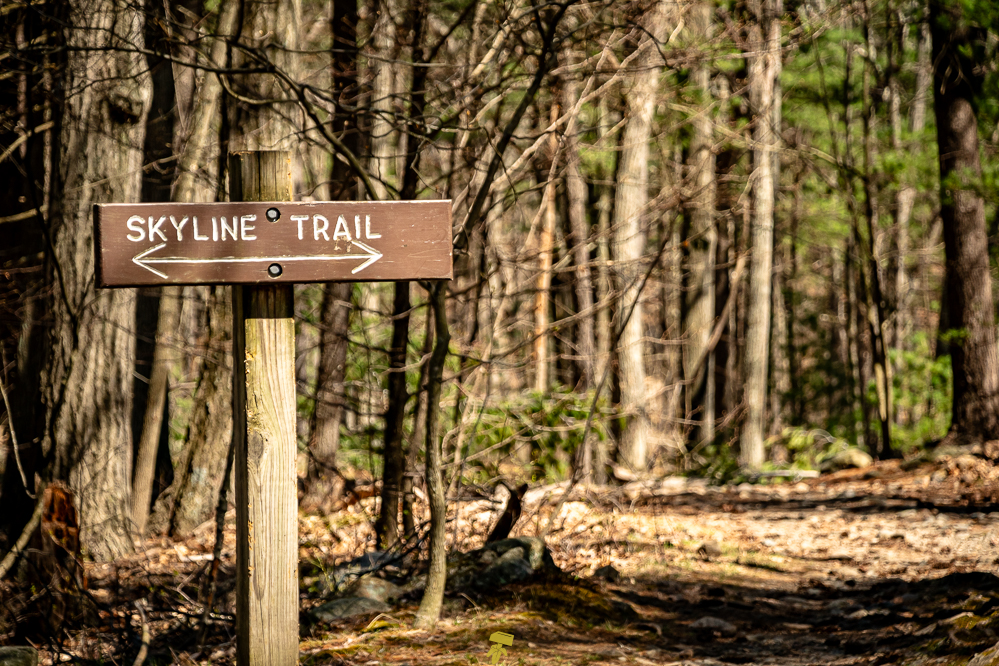
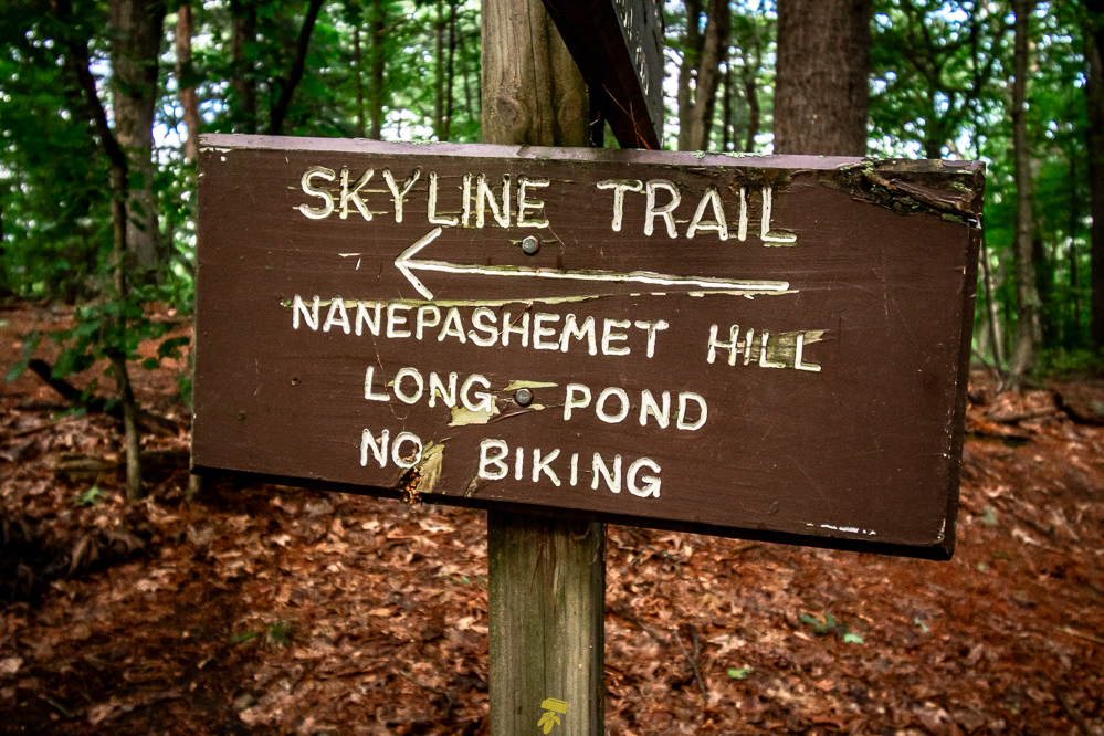
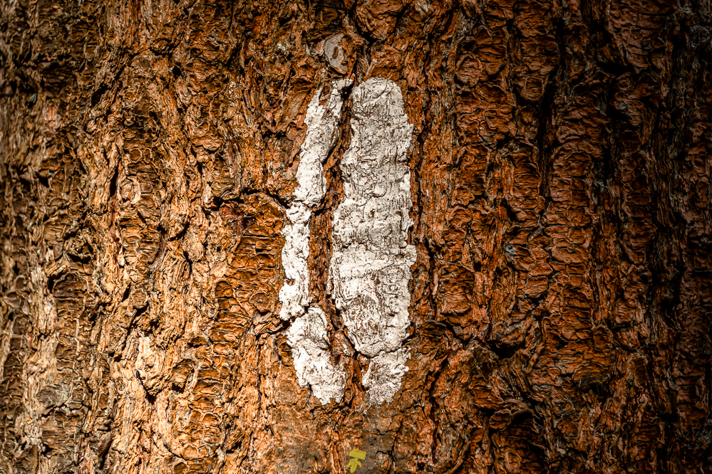
Being local, I’ve hiked this trail a minimum of 15 times, in every condition, at various times of day… The very well-maintained trail is well-marked either by wooden blazes nailed to trees, painted swatches either on trees or rocks, posted wooden signage, and other similar designs and markings. The only confusion that may come is from intersecting trails, and there are a lot of them.
While some of the ascents/descents can be a bit steep at times, there is no real climb nor do they last more than several feet. As with rocks anywhere else, they become slippery when wet or icy, and this path does go up and down rocky outcrops several times. Actually this is all the trail does, goes slightly up and down with mostly flat sections through, at times dense, woods between each hill.
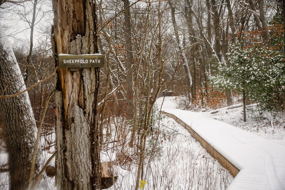
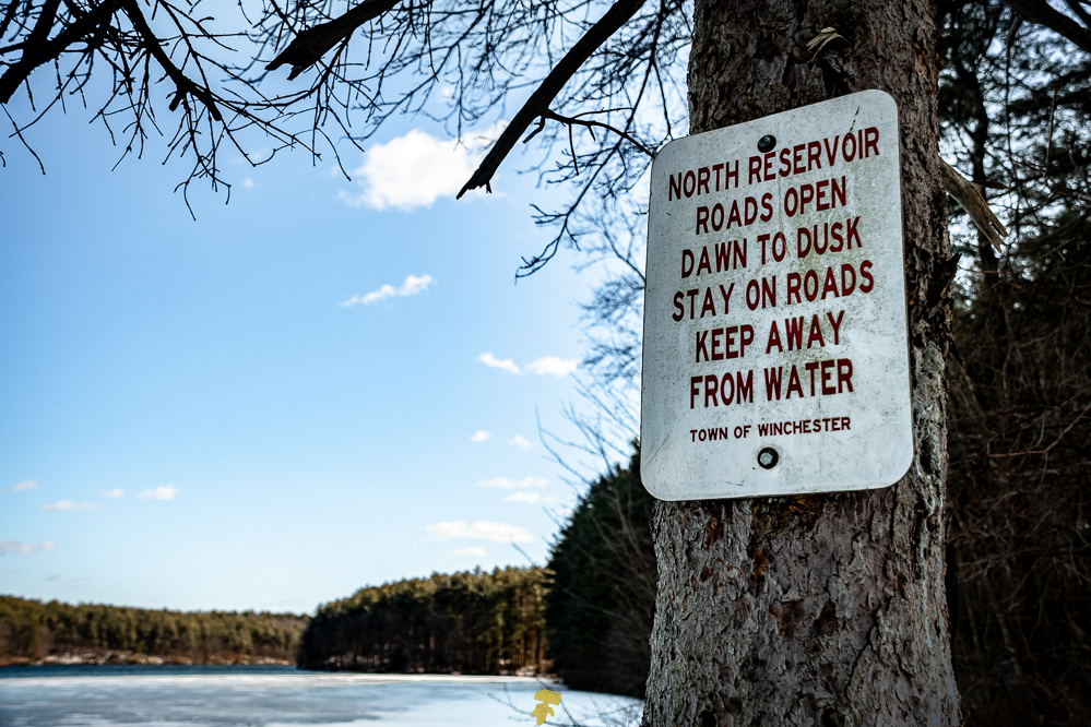
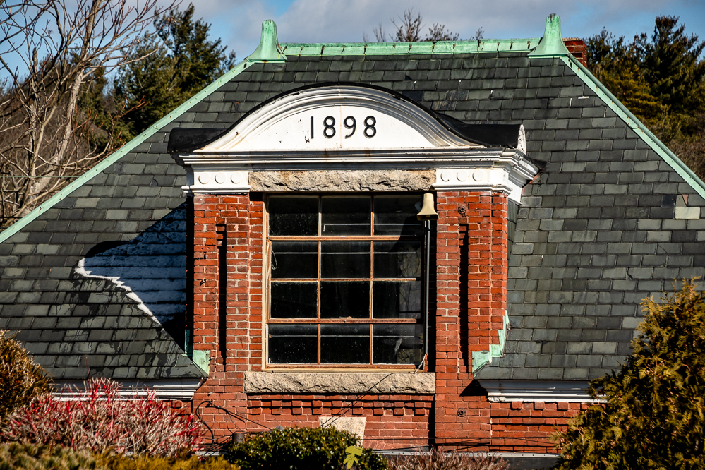
Being the biggest forestry area north of Boston, it’s very popular. I have encountered people every time I have hiked the trail at some point along the way regardless of weather, mostly around the Panther Cave to Wright’s Tower area, Sheepfold, North Reservoir Lookout, and around the Town of Winchester Water Department Historic Site area.
It’s a great trail to learn about nature, figure out basic hiking and backpacking skills, train, gear shakedowns, and simply get out into nature without needing a lot of gear or experience, and without fear of getting lost in deep wilderness backcountry.
PARKING
The barricades open at 9am and close at dusk. The DCR may tow or lock your vehicle inside the lot if parked longer or overnight. During the warmer months, parking along the side of the road and neighboring streets is strictly enforced. The lots typically fill up early, especially on weekends and throughout the summer. All of the lots are free of charge.
Bear Hill Lot (42.4686, -71.10794)
– Inner Lot: Barricade
– Outer Area: Park at your own risk.
Bellevue Pond Lot (42.43089, -71.10773)
– Barricade
Long Pond Lot (42.44954, -71.12557)
– Barricade
Nanepashemet Lot (42.44661, -71.12514)
– No barricade
Red Cross Path Lot (42.43231, -71.11185)
– No barricade
Sheep Fold Lot (42.45341, -71.10688)
– Barricade
South Dam Lot (42.43817, -71.11931)
– No barricade
If you would like to support the park which aside from the Department of Conservation & Recreation is maintained by community volunteers, consider becoming a member or making a donation. The Friends of the Middlesex Fells Reservation’s mission is to promote the conservation, appreciation, and sustainable enjoyment of the Middlesex Fells Reservation.
The Friends of the Middlesex Fells Reservation is a 501(c)(3) nonprofit organization and all contributions are tax-deductible. https://www.friendsofthefells.org/donate
RESOURCES
MAPS
AllTrails Map: https://www.alltrails.com/explore/map/skyline-trail-loop-0e65972
Google Map: https://www.google.com/maps/d/u/0/edit?mid=1JU-DcKEYS4WCBGsO5yAOJKMznWs0Seo
INFORMATION
Friends of the Fells: https://www.friendsofthefells.org
MassGov Website: https://www.mass.gov/locations/middlesex-fells-reservation
National Park Service: https://www.nps.gov/places/middlesex-fells-reservation.htm


